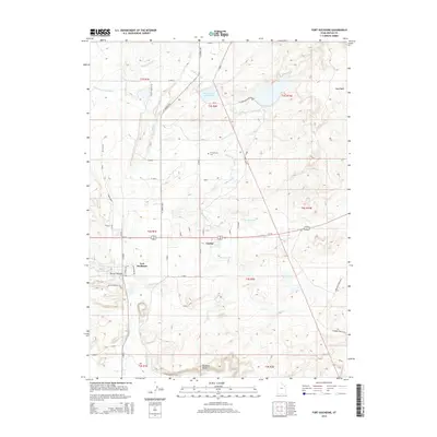
2014 Map of Fort Duchesne
USGS Topo · Published 2014About this map
Fort Duchesne and Gusher anchor this 2014 landscape in the Uintah Basin, revealing a complex network of man-made waterways essential to the region's agricultural and tribal history. The map detail highlights the intensive irrigation infrastructure including the Ouray Park Canal, Moffat Canal, and Henry Jim Canal, which divert water across the arid terrain to support local life. These canals, alongside the Bottle Hollow Reservoir and Cottonwood Reservoir, illustrate the management of scarce water resources in a region characterized by prominent geological features like Randlett Butte and Sand Wash. For genealogists and local historians, the inclusion of the Ft Duchesne Cem and specific road networks like Fausett Ranch Rd and Oil Field Rd provides precise points of reference for tracing family property and community development near the Uintah and Ouray Reservation.
Find a feature on this map
92 named features on this map. Tap any name to fly to it.
Don’t see what you’re looking for? This feature index may not catch every label — zoom into the map to look around manually.
Map Details
Editions of this 2014 Fort Duchesne Map
This is the sole edition of this map. No revisions or reprints were ever made.
Other maps of this area
1885 · Ashley
USGS Topo · 1:250,000
1917 · Vernal
USGS Topo · 1:125,000

1954 · Vernal
USGS Topo · 1:250,000

1958 · Vernal
USGS Topo · 1:250,000

1960 · Vernal
USGS Topo · 1:250,000
1964 · Fort Duchesne
USGS Topo · 1:24,000
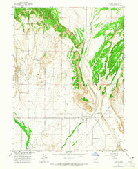
1964 · Lapoint
USGS Topo · 1:24,000
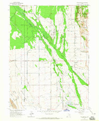
1964 · Whiterocks
USGS Topo · 1:24,000
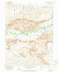
1964 · Windy Ridge
USGS Topo · 1:24,000
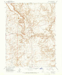
1964 · Vernal SW
USGS Topo · 1:24,000