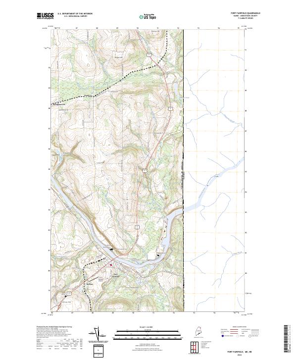
2024 Map of Fort Fairfield
USGS Topo · Published 2024About this map
Fort Fairfield sits at a critical international juncture where the Aroostook River flows toward the eastern border, marking the boundary between the United States of America and Canada. The town's layout is defined by its proximity to the water, with Riverside Ave W and Aroostook Falls Rd tracing the river's winding course. This agricultural and aviation hub is anchored by the Fort Fairfield Airport and surrounded by a landscape of named heights including Irish Ridge and Harvey Hill. Genealogists will find significant value in the concentration of burial sites, from the central Saint Denis Catholic Cem and Riverside Cem to the family-associated Houghton Burial Ground and Harvey Hill Cem. Smaller settlements like Goodrich and Houghtonville to the north reflect the rural development of this borderland, while numerous waterways such as Limestone Stream and Goodrich Brook drain the rolling potato-country terrain.
Find a feature on this map
73 named features on this map. Tap any name to fly to it.
Don’t see what you’re looking for? This feature index may not catch every label — zoom into the map to look around manually.
Map Details
Editions of this 2024 Fort Fairfield Map
This is the sole edition of this map. No revisions or reprints were ever made.
Other maps of this area

1930 · Fort Fairfield
USGS Topo · 1:48,000

1933 · Fort Fairfield
USGS Topo · 1:62,500

1936 · Mars Hill
USGS Topo · 1:48,000

1940 · Mars Hill
USGS Topo · 1:62,500

1951 · Mars Hill
USGS Topo · 1:62,500

1951 · Fort Fairfield
USGS Topo · 1:62,500

1953 · Fort Fairfield NW
USGS Topo · 1:24,000
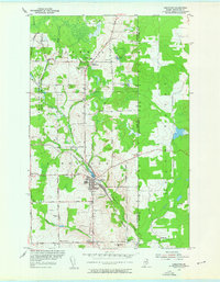
1953 · Limestone
USGS Topo · 1:24,000

1959 · Woodstock
USGS Topo · 1:250,000

1963 · Woodstock
USGS Topo · 1:250,000