
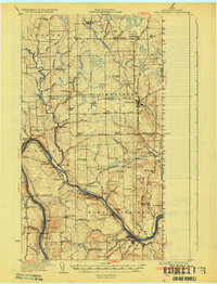
1933 Map of Fort Fairfield
USGS Topo · Published 1933About this map
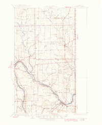
The Aroostook River and Little Madawaska River valleys define this northeastern corner of Maine during a period of robust agricultural and industrial development. This 1930s landscape is densely marked with one-room schoolhouses, including Hammond Sch, Willard Sch, and Longfellow Sch, which reflect the distributed rural population of the time. The international border with Canada runs along the eastern edge, where the Canadian Pacific and Bangor and Aroostook railroads converge to support the regional potato economy. Industrial sites like Grimes Mill and Noyes Mill sit alongside established hubs like Fort Fairfield and Caribou. Local infrastructure such as the State Fish Hatchery and numerous family-named landmarks like Cote Corner and Giggey Hill provide a granular look at the community geography before mid-century modernization consolidated many of these rural institutions.
Find a feature on this map
101 named features on this map. Tap any name to fly to it.
Don’t see what you’re looking for? This feature index may not catch every label — zoom into the map to look around manually.
Map Details
Editions of this 1933 Fort Fairfield Map
3 editions found
Other maps of this area

1921 · Van Buren
USGS Topo · 1:250,000

1927 · Stockholm
USGS Topo · 1:48,000

1929 · Caribou
USGS Topo · 1:48,000

1930 · Fort Fairfield
USGS Topo · 1:48,000

1931 · Van Buren
USGS Topo · 1:48,000

1931 · Stockholm
USGS Topo · 1:62,500

1932 · Caribou
USGS Topo · 1:62,500

1934 · Van Buren
USGS Topo · 1:62,500

1935 · Presque Isle
USGS Topo · 1:62,500

1936 · Mars Hill
USGS Topo · 1:48,000