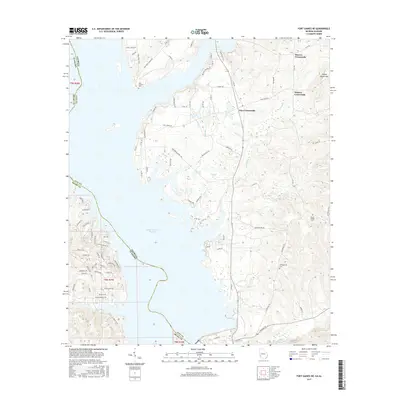
2017 Map of Fort Gaines NE
USGS Topo · Published 2017About this map
The Walter F George Reservoir dominates the western landscape of this Georgia-Alabama borderland, where the state line follows the old riverbed now submerged by the reservoir. On the Georgia side in Clay County, the terrain is defined by a network of rural routes and traditional community hubs, including Moores Crossroads, Watson Crossroads, and Days Crossroads. These points serve as the primary markers for a landscape that transitions from the reservoir shoreline to the upland reaches around Johnny Moore Hill.
Find a feature on this map
94 named features on this map. Tap any name to fly to it.
Don’t see what you’re looking for? This feature index may not catch every label — zoom into the map to look around manually.
Map Details
Editions of this 2017 Fort Gaines NE Map
This is the sole edition of this map. No revisions or reprints were ever made.
Other maps of this area

1953 · Dothan
USGS Topo · 1:250,000

1954 · Dothan
USGS Topo · 1:250,000

1955 · Dothan
USGS Topo · 1:250,000

1967 · Hatcher
USGS Topo · 1:24,000

1968 · Eufaula South
USGS Topo · 1:24,000

1969 · Fort Gaines
USGS Topo · 1:24,000

1969 · Fort Gaines NW
USGS Topo · 1:24,000

1969 · Fort Gaines NE
USGS Topo · 1:24,000

1969 · Abbeville East
USGS Topo · 1:24,000
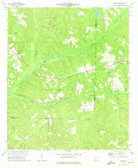
1973 · Morris
USGS Topo · 1:24,000