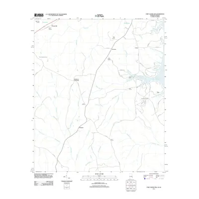
2011 Map of Fort Gaines NW
USGS Topo · Published 2011About this map
Scottsboro Crossroads and the dual-location settlement of Screamer anchor this 2011 perspective of eastern Henry County, Alabama. The landscape is defined by the Walter F George Reservoir along the eastern margin, where the shoreline is punctuated by developed points like Otho and recreational areas near Double Bridges. The interior terrain features the prominent Baker Hill Cuesta in the northwest, a geological formation that contrasts with the network of creeks including Abbie Creek and Hardridge Creek.
Find a feature on this map
67 named features on this map. Tap any name to fly to it.
Don’t see what you’re looking for? This feature index may not catch every label — zoom into the map to look around manually.
Map Details
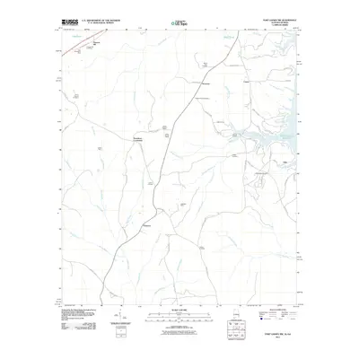
Editions of this 2011 Fort Gaines NW Map
2 editions found
Other maps of this area

1953 · Dothan
USGS Topo · 1:250,000

1954 · Dothan
USGS Topo · 1:250,000

1955 · Dothan
USGS Topo · 1:250,000

1967 · Hatcher
USGS Topo · 1:24,000

1968 · Baker Hill
USGS Topo · 1:24,000

1968 · Eufaula South
USGS Topo · 1:24,000

1969 · Abbeville West
USGS Topo · 1:24,000

1969 · Fort Gaines
USGS Topo · 1:24,000

1969 · Fort Gaines NW
USGS Topo · 1:24,000

1969 · Fort Gaines NE
USGS Topo · 1:24,000