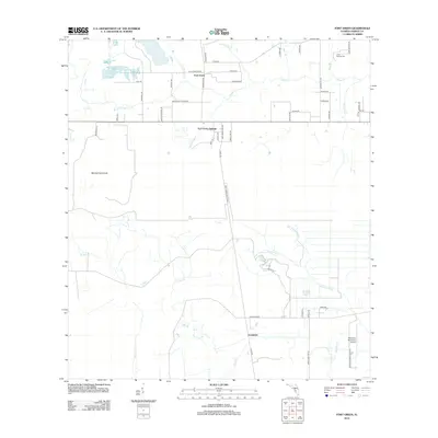
2012 Map of Fort Green
USGS Topo · Published 2012About this map
Fort Green and Fort Green Springs anchor this portion of Hardee County, where rural settlement patterns follow the winding paths of several regional waterways. The landscape is defined by the convergence of Payne Cr and numerous smaller tributaries like Shirttail Br and Gum Swamp Br. Further south, the community of Vandolah is situated near the FLA Institute and the expansive Mitchell Hammock, illustrating the mixed agricultural and institutional nature of the area during the early 21st century.
Find a feature on this map
53 named features on this map. Tap any name to fly to it.
Don’t see what you’re looking for? This feature index may not catch every label — zoom into the map to look around manually.
Map Details
Editions of this 2012 Fort Green Map
This is the sole edition of this map. No revisions or reprints were ever made.
Other maps of this area

1955 · Ft. Green
USGS Topo · 1:24,000

1955 · Bowling Green
USGS Topo · 1:24,000

1955 · Wauchula
USGS Topo · 1:24,000

1955 · Baird
USGS Topo · 1:24,000

1956 · Ona
USGS Topo · 1:24,000

1956 · Myakka Head
USGS Topo · 1:24,000

1956 · Duette NE
USGS Topo · 1:24,000

1956 · Zolfo Springs
USGS Topo · 1:24,000

1956 · Duette
USGS Topo · 1:24,000

1956 · Tampa
USGS Topo · 1:250,000