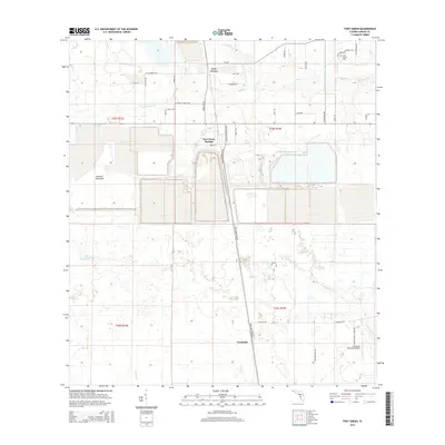
2015 Map of Fort Green
USGS Topo · Published 2015About this map
Fort Green and Fort Green Springs anchor this portion of Hardee County, where the landscape is defined by extensive industrial excavation and the winding tributaries of the Peace River watershed. Large-scale mining operations, such as Mine Vw, have significantly altered the terrain, creating vast engineered ponds that contrast with the natural flow of Payne Cr and Gum Swamp Br. To the south, the settlement of Vandolah sits near the eastern edge of the map, adjacent to the Wauchula Municipal Airport. The area’s rural heritage is preserved in family-named routes and the Olive Branch Cem near the northern border. A network of creeks, including Troublesome Cr, Brushy Cr, and Lettis Cr, thread through the lowlands, illustrating the complex drainage patterns of this Florida interior before it meets the coastal plains.
Find a feature on this map
46 named features on this map. Tap any name to fly to it.
Don’t see what you’re looking for? This feature index may not catch every label — zoom into the map to look around manually.
Map Details
Editions of this 2015 Fort Green Map
This is the sole edition of this map. No revisions or reprints were ever made.
Other maps of this area

1955 · Ft. Green
USGS Topo · 1:24,000

1955 · Bowling Green
USGS Topo · 1:24,000

1955 · Wauchula
USGS Topo · 1:24,000

1955 · Baird
USGS Topo · 1:24,000

1956 · Ona
USGS Topo · 1:24,000

1956 · Myakka Head
USGS Topo · 1:24,000

1956 · Duette NE
USGS Topo · 1:24,000

1956 · Zolfo Springs
USGS Topo · 1:24,000

1956 · Duette
USGS Topo · 1:24,000

1956 · Tampa
USGS Topo · 1:250,000