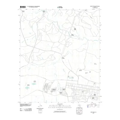
2010 Map of Fort Hood
USGS Topo · Published 2010About this map
Saint Elijah Village and several residential clusters including Comanche Village I and Chaffee Village characterize the military housing and administrative footprint of this central Texas installation. The landscape is structured by a network of specialized routes such as Tank Destroyer Blvd, W Range Rd, and Motor Pool Rd, reflecting the functional needs of the post. To the north, the terrain transitions into a more natural drainage system where Cowhouse Creek winds past historic crossing points like Middle Crossing and Jackson Crossing.
Find a feature on this map
46 named features on this map. Tap any name to fly to it.
Don’t see what you’re looking for? This feature index may not catch every label — zoom into the map to look around manually.
Map Details
Editions of this 2010 Fort Hood Map
This is the sole edition of this map. No revisions or reprints were ever made.
Other maps of this area

1894 · Gatesville
USGS Topo · 1:125,000

1930 · Killeen
USGS Topo · 1:62,500

1947 · Fort Hood
USGS Topo · 1:62,500

1947 · Fort Hood
USGS Topo · 1:24,000

1947 · Purmela
USGS Topo · 1:62,500

1947 · Post Oak Mountain
USGS Topo · 1:24,000

1947 · Killeen
USGS Topo · 1:62,500

1947 · McMillan Mountains
USGS Topo · 1:24,000

1947 · Pidcoke
USGS Topo · 1:24,000

1947 · North Fort Hood
USGS Topo · 1:24,000
Featured Places
- Chaffee Village, TX
- Comanche Village II, TX
- Comanche Village III East, TX
- Comanche Village III West, TX
- Saint Elijah Village, TX