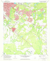
1972 Map of Fort Jackson South
USGS Topo · Published 1973About this map
Columbia expands southeastward in the early 1970s, meeting the expansive boundaries of the Fort Jackson Military Reservation. The suburban landscape is defined by its institutional and community anchors, from the VA Hospital and Midland Technical Education Center to established residential pockets like Arthurtown and Sims. This period shows a high density of educational and spiritual centers, including Dreher High Sch and several parish-based schools, indicating the rapid postwar growth of Richland County.
Find a feature on this map
85 named features on this map. Tap any name to fly to it.
Don’t see what you’re looking for? This feature index may not catch every label — zoom into the map to look around manually.
Map Details
Editions of this 1972 Fort Jackson South Map
3 editions found
Other maps of this area

1904 · Columbia
USGS Topo · 1:125,000

1935 · Killian
USGS Topo · 1:48,000

1937 · Killian
USGS Topo · 1:62,500

1941 · Spartanburg
USGS Topo · 1:250,000

1942 · Camden
USGS Topo · 1:125,000

1944 · Edmund
USGS Topo · 1:62,500

1947 · Columbia North
USGS Topo · 1:24,000

1948 · Hopkins
USGS Topo · 1:62,500

1948 · Columbia North
USGS Topo · 1:24,000

1953 · Messers Pond
USGS Topo · 1:24,000