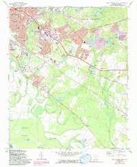
1972 Map of Fort Jackson South
USGS Topo · Published 1991About this map
The southeastern outskirts of Columbia meet the sprawling grounds of the Fort Jackson Military Reservation in this 1970s-era study. The landscape is defined by the transition from established neighborhoods like Arthurtown and industrial zones near Owens Field to the marshy lowlands of Poplar Bottom and Gills Creek. Urban expansion, highlighted by purple revisions, is visible around Greentown Memorial Park, where residential developments such as Burnside School and Hammond Academy serve a growing population.
Find a feature on this map
101 named features on this map. Tap any name to fly to it.
Don’t see what you’re looking for? This feature index may not catch every label — zoom into the map to look around manually.
Map Details
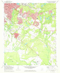
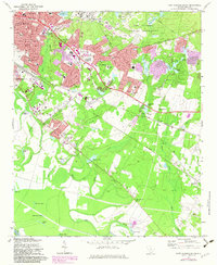
Editions of this 1972 Fort Jackson South Map
3 editions found
Other maps of this area

1904 · Columbia
USGS Topo · 1:125,000

1935 · Killian
USGS Topo · 1:48,000

1937 · Killian
USGS Topo · 1:62,500

1941 · Spartanburg
USGS Topo · 1:250,000

1942 · Camden
USGS Topo · 1:125,000

1944 · Edmund
USGS Topo · 1:62,500

1947 · Columbia North
USGS Topo · 1:24,000

1948 · Hopkins
USGS Topo · 1:62,500

1948 · Columbia North
USGS Topo · 1:24,000

1953 · Messers Pond
USGS Topo · 1:24,000