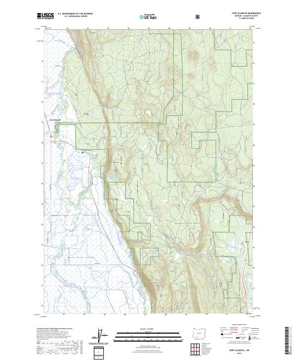
2023 Map of Fort Klamath
USGS Topo · Published 2023About this map
The Wood River Valley unfolds as a complex network of hydrological features in this contemporary survey, characterized by the winding path of the Wood River and its numerous tributaries. Modern water management is evident through systems like the Sevenmile Canal, C Canal, and the Melhase Ditch, which intersect the low-lying plains south of the settlement of Fort Klamath. To the east, the terrain rises sharply toward Agency Hill and the forested slopes of the Winema National Forest, where spring-fed sources such as Tecumseh Spring and Hatchery Spring emerge at the base of the canyon walls. Local history is anchored by the Fort Klamath Cem and the Wood River Picnic Grd, marking the transition from the irrigated valley floor to the high timber and volcanic terrain of Sun Mtn and Sugar Hill.
Find a feature on this map
39 named features on this map. Tap any name to fly to it.
Don’t see what you’re looking for? This feature index may not catch every label — zoom into the map to look around manually.
Map Details
Editions of this 2023 Fort Klamath Map
This is the sole edition of this map. No revisions or reprints were ever made.
Other maps of this area

1889 · Klamath
USGS Topo · 1:250,000

1891 · Ashland
USGS Topo · 1:250,000

1893 · Ashland
USGS Topo · 1:250,000

1894 · Klamath
USGS Topo · 1:250,000

1897 · Ashland
USGS Topo · 1:250,000

1955 · Pelican Butte
USGS Topo · 1:62,500

1955 · Klamath Falls
USGS Topo · 1:250,000

1955 · Medford
USGS Topo · 1:250,000

1957 · Medford
USGS Topo · 1:250,000

1957 · Chiloquin
USGS Topo · 1:62,500