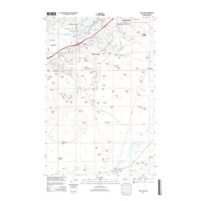
2014 Map of Fort Lewis
USGS Topo · Published 2014About this map
Fort Lewis dominates this Pierce County landscape, revealing the complex organization of a major military installation in the early 21st century. The map details the extensive network of barracks, training areas, and air support facilities, centered on the Gray Army Airfield. Beyond the military borders, the residential character of Lakewood and the American Lake Garden Tract contrast with the open expanses of American Prairie and Ninety-first Division Prairie. A notable concentration of glacial lakes and marshes, including American Lake, Sequalitchew Lake, and the waterfowl habitats of Brandenburg Marsh, underscores the unique geography of the Puget Sound lowlands. Genealogical interest is anchored by the Fort Lewis Cem and the surrounding namesake landmarks such as Miller Hill and Kemp Hill, which speak to the area's long-standing connection to the United States Army.
Find a feature on this map
166 named features on this map. Tap any name to fly to it.
Don’t see what you’re looking for? This feature index may not catch every label — zoom into the map to look around manually.
Map Details
Editions of this 2014 Fort Lewis Map
This is the sole edition of this map. No revisions or reprints were ever made.
Other maps of this area

1897 · Tacoma
USGS Topo · 1:125,000

1900 · Tacoma
USGS Topo · 1:125,000

1916 · Chehalis
USGS Topo · 1:125,000

1937 · Eatonville
USGS Topo · 1:125,000

1940 · Anderson Island
USGS Topo · 1:62,500

1941 · Tanwax Lake
USGS Topo · 1:62,500

1941 · Tacoma South
USGS Topo · 1:62,500

1944 · Tacoma South
USGS Topo · 1:62,500

1944 · Yelm
USGS Topo · 1:62,500

1944 · Ohop Valley
USGS Topo · 1:62,500