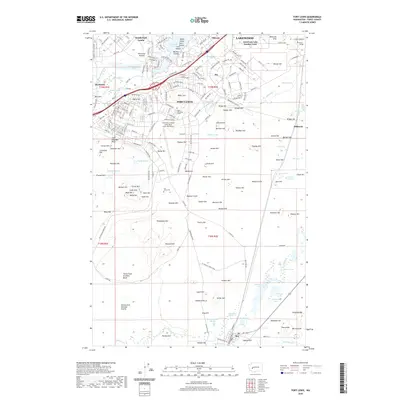
2020 Map of Fort Lewis
USGS Topo · Published 2020About this map
Fort Lewis occupies the central expanse of this 2020 landscape, defined by its extensive military infrastructure and flight operations at Gray Army Airfield. The map reveals a complex interface between active duty facilities and civilian life, where the American Lake Garden Tract and Lakewood meet the northern boundaries of the base. To the south, the terrain shifts into specialized training grounds like the Ninety-first Division Prairie and the Tenth Field Artillery Bluff, a landscape characterized by numerous named heights including Miller Hill, Harter Hill, and Branson Hill.
Find a feature on this map
185 named features on this map. Tap any name to fly to it.
Don’t see what you’re looking for? This feature index may not catch every label — zoom into the map to look around manually.
Map Details
Editions of this 2020 Fort Lewis Map
This is the sole edition of this map. No revisions or reprints were ever made.
Other maps of this area

1897 · Tacoma
USGS Topo · 1:125,000

1900 · Tacoma
USGS Topo · 1:125,000

1916 · Chehalis
USGS Topo · 1:125,000

1937 · Eatonville
USGS Topo · 1:125,000

1940 · Anderson Island
USGS Topo · 1:62,500

1941 · Tanwax Lake
USGS Topo · 1:62,500

1941 · Tacoma South
USGS Topo · 1:62,500

1944 · Tacoma South
USGS Topo · 1:62,500

1944 · Yelm
USGS Topo · 1:62,500

1944 · Ohop Valley
USGS Topo · 1:62,500