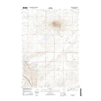
2015 Map of Fort Meade
USGS Topo · Published 2015About this map
Bear Butte rises as the dominant natural monument northeast of Sturgis, serving as a focal point for the surrounding plains and drainage networks. This modern survey illustrates the development of the area where the Black Hills meet the prairie, centered on the historic community of Sturgis. The landscape is a network of watercourses including Spring Creek, Alkali Creek, and Bear Butte Creek, which flows past the Bear Butte Cemetery at the edge of town. Aviation and infrastructure are prominent, with the Sturgis Municipal Airport situated east of the city and smaller private facilities like Bruch Airfield to the north. Traces of the region's western heritage are preserved in the naming of the Chisolm Trail, while the contemporary residential and agricultural grid is defined by routes such as Bear Butte Road and Foothills Road.
Find a feature on this map
51 named features on this map. Tap any name to fly to it.
Don’t see what you’re looking for? This feature index may not catch every label — zoom into the map to look around manually.
Map Details
Editions of this 2015 Fort Meade Map
This is the sole edition of this map. No revisions or reprints were ever made.
Other maps of this area

1893 · Rapid
USGS Topo · 1:125,000

1894 · Deadwood
USGS Topo · 1:125,000

1898 · Rapid
USGS Topo · 1:125,000

1899 · Sturgis
USGS Topo · 1:62,500

1901 · Deadwood
USGS Topo · 1:125,000

1903 · Rapid
USGS Topo · 1:125,000

1905 · Saint Onge
USGS Topo · 1:62,500

1906 · Vale
USGS Topo · 1:62,500

1907 · Belle Fourche
USGS Topo · 1:125,000

1913 · Newell
USGS Topo · 1:125,000