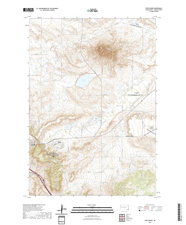
2021 Map of Fort Meade
USGS Topo · Published 2021About this map
Bear Butte rises as the central landmark of this Meade County landscape, surrounded by a network of contemporary trails and ranching infrastructure. The area is defined by the intersection of high plains terrain and historical military and civic sites, notably the Fort Meade National Cem and the Bear Butte Cem located near the edge of Sturgis. The map details a transition from the urban grid of Sturgis, including streets like Lazelle St and Main St, to the rural expanse of the Black Hills foothills. Hydrological features such as Bear Butte Lake and the winding Bear Butte Cr draw the eye toward the legendary Buffalo Chip site. Aviation interest is marked by several local landing strips, including Bruch Airfield and the Sturgis Municipal Airport, illustrating the modern aerial accessibility of this famed South Dakota region.
Find a feature on this map
60 named features on this map. Tap any name to fly to it.
Don’t see what you’re looking for? This feature index may not catch every label — zoom into the map to look around manually.
Map Details
Editions of this 2021 Fort Meade Map
This is the sole edition of this map. No revisions or reprints were ever made.
Other maps of this area

1893 · Rapid
USGS Topo · 1:125,000

1894 · Deadwood
USGS Topo · 1:125,000

1898 · Rapid
USGS Topo · 1:125,000

1899 · Sturgis
USGS Topo · 1:62,500

1901 · Deadwood
USGS Topo · 1:125,000

1903 · Rapid
USGS Topo · 1:125,000

1905 · Saint Onge
USGS Topo · 1:62,500

1906 · Vale
USGS Topo · 1:62,500

1907 · Belle Fourche
USGS Topo · 1:125,000

1913 · Newell
USGS Topo · 1:125,000