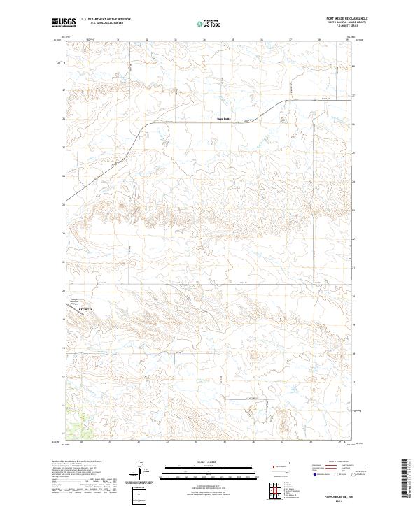
2021 Map of Fort Meade NE
USGS Topo · Published 2021About this map
Sturgis anchors the southwestern edge of this Meade County landscape, where the town's industrial and municipal reach meets the rising topography of the Black Hills foothills. The Sturgis Municipal Airport sits on the flatlands just north of the city center, serving as a modern landmark in a region traditionally defined by its drainage systems. The map shows a transition from urban development to rural ranching and open space, organized by the township and range system.
Find a feature on this map
24 named features on this map. Tap any name to fly to it.
Don’t see what you’re looking for? This feature index may not catch every label — zoom into the map to look around manually.
Map Details
Editions of this 2021 Fort Meade NE Map
This is the sole edition of this map. No revisions or reprints were ever made.
Other maps of this area

1893 · Rapid
USGS Topo · 1:125,000

1898 · Rapid
USGS Topo · 1:125,000

1903 · Rapid
USGS Topo · 1:125,000

1906 · Vale
USGS Topo · 1:62,500

1913 · Newell
USGS Topo · 1:125,000

1951 · Volunteer
USGS Topo · 1:24,000

1951 · Vale
USGS Topo · 1:24,000

1951 · Vale SE
USGS Topo · 1:24,000

1951 · Vale
USGS Topo · 1:62,500

1953 · Rapid City 1 SW
USGS Topo · 1:24,000