
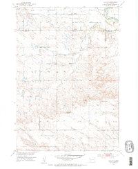
1951 Map of Vale SE
USGS Topo · Published 1953About this map
The Belle Fourche River snakes through the northeastern corner of this 1951 survey, defining a landscape of agricultural infrastructure and rural schoolhouses across Meade and Butte counties. A complex system of irrigation, including the South Canal, Meade Lateral, and Richards Lateral, branches across the terrain to support the homesteads of the Vale area. This era represents a period of consolidation in rural education, evidenced by several active institutions like Empire Sch and Follette Sch alongside sites already marked as Ninemile Sch (Abandoned) and South Highland Sch (Abandoned). The Chicago and North Western railroad provides the primary industrial link in the north, while the southern reaches rise toward the prominent landmark of Buzzards Peak in the high ground known as Highland.
Find a feature on this map
17 named features on this map. Tap any name to fly to it.
Don’t see what you’re looking for? This feature index may not catch every label — zoom into the map to look around manually.
Map Details
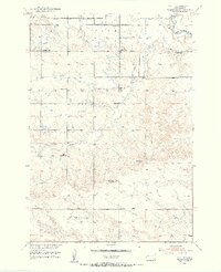
Editions of this 1951 Vale SE Map
3 editions found
Other maps of this area

1893 · Rapid
USGS Topo · 1:125,000

1898 · Rapid
USGS Topo · 1:125,000

1903 · Rapid
USGS Topo · 1:125,000

1906 · Vale
USGS Topo · 1:62,500

1913 · Newell
USGS Topo · 1:125,000

1951 · Volunteer
USGS Topo · 1:24,000

1951 · Vale
USGS Topo · 1:24,000

1951 · Newell
USGS Topo · 1:24,000

1951 · Vale NE
USGS Topo · 1:24,000

1951 · Vale
USGS Topo · 1:62,500