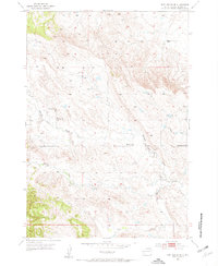
1953 Map of Fort Meade SE
USGS Topo · Published 1955About this map
The agrarian landscape of Meade County is defined here by the drainage systems of Pleasant Valley Creek and Morris Creek during the early 1950s. The social fabric of the valley is evident in the distribution of community landmarks, notably the Pleasant Valley Ch and multiple educational sites. A shift in local settlement patterns is recorded by the presence of both the active Harlow Sch and the Harlow Sch (Abandoned), suggesting a reorganization of rural school districts or a migration of families within the valley.
Find a feature on this map
7 named features on this map. Tap any name to fly to it.
Don’t see what you’re looking for? This feature index may not catch every label — zoom into the map to look around manually.
Map Details
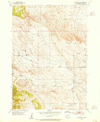
Editions of this 1953 Fort Meade SE Map
2 editions found
Other maps of this area

1893 · Rapid
USGS Topo · 1:125,000

1898 · Rapid
USGS Topo · 1:125,000

1903 · Rapid
USGS Topo · 1:125,000

1953 · Rapid City 1 SW
USGS Topo · 1:24,000

1953 · Rapid City 1 NW
USGS Topo · 1:24,000

1953 · Blackhawk
USGS Topo · 1:24,000

1953 · Piedmont
USGS Topo · 1:24,000
1953 · Fort Meade
USGS Topo · 1:24,000

1953 · Rapid City NW
USGS Topo · 1:24,000
1953 · Tilford
USGS Topo · 1:24,000