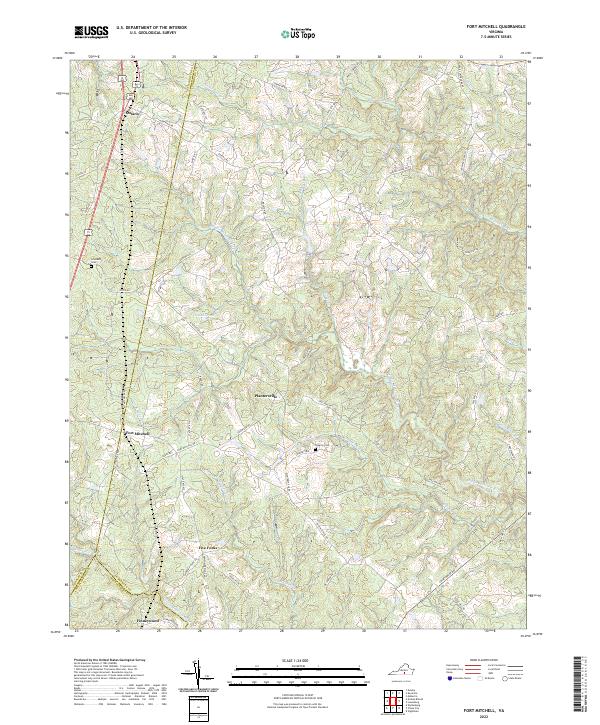
2022 Map of Fort Mitchell
USGS Topo · Published 2022About this map
Fort Mitchell and the surrounding rural landscape of Lunenburg County are defined by the intricate dendritic drainage systems that feed into the Middle Meherrin River and South Meherrin River. This topography creates a series of ridges where historic settlements like Plantersville, Ontario, and Five Forks are situated, connected by a network of secondary roads such as Plantersville Rd and Meherrin River Rd.
Find a feature on this map
68 named features on this map. Tap any name to fly to it.
Don’t see what you’re looking for? This feature index may not catch every label — zoom into the map to look around manually.
Map Details
Editions of this 2022 Fort Mitchell Map
This is the sole edition of this map. No revisions or reprints were ever made.
Other maps of this area

1891 · Farmville
USGS Topo · 1:125,000

1892 · Appomattox
USGS Topo · 1:125,000

1893 · Farmville
USGS Topo · 1:125,000

1947 · Roanoke
USGS Topo · 1:250,000

1953 · Greensboro
USGS Topo · 1:250,000

1954 · Greensboro
USGS Topo · 1:250,000

1954 · Clover
USGS Topo · 1:62,500

1955 · Chase City
USGS Topo · 1:62,500

1956 · Charlotte Court House
USGS Topo · 1:62,500

1958 · Keysville
USGS Topo · 1:62,500