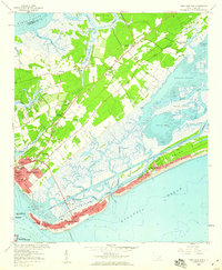
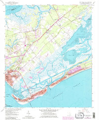
1959 Map of Fort Moultrie
USGS Topo · Published 1960About this map
Fort Moultrie and the Fort Sumter National Monument anchor this coastal survey, guarding the entrance to Charleston Harbor as it appeared in the late 1950s. The landscape is a complex network of barrier islands and tidal marshes, where Sullivans Island and the Isle of Palms show established residential street grids connected by the Sawyer Memorial Bridge and Thompson Memorial Bridge. Inland, the community of Mount Pleasant serves as a hub, surrounded by numerous country churches and schools such as Christ Church, Ebenezer Ch, and Moultrie High Sch.
Find a feature on this map
74 named features on this map. Tap any name to fly to it.
Don’t see what you’re looking for? This feature index may not catch every label — zoom into the map to look around manually.
Map Details
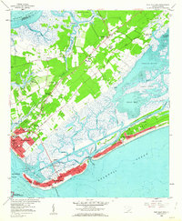
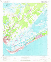
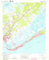
Editions of this 1959 Fort Moultrie Map
5 editions found
Other maps of this area

1919 · The Jetties
USGS Topo · 1:21,120

1919 · Capers Island
USGS Topo · 1:21,120

1919 · Wando
USGS Topo · 1:21,120

1919 · Melgrove
USGS Topo · 1:21,120

1919 · Charleston
USGS Topo · 1:21,120

1919 · James Island
USGS Topo · 1:21,120

1919 · Fort Moultrie
USGS Topo · 1:21,120

1919 · Sewee Bay
USGS Topo · 1:21,120

1940 · Melgrove
USGS Topo · 1:24,000

1943 · Capers Island
USGS Topo · 1:24,000
Featured Places
- Charleston, SC
- Mount Pleasant, SC
- Isle of Palms, SC
- Waterway Arms, Mount Pleasant
- Brook Green Meadow, Mount Pleasant