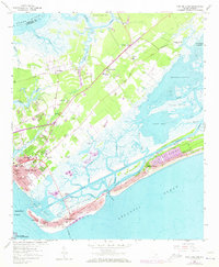
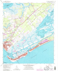
1959 Map of Fort Moultrie
USGS Topo · Published 1973About this map
Fort Moultrie and the surrounding coastal defense landscape dominate the entrance to Charleston Harbor in this mid-century survey. The map details the transition from the established settlement at Mount Pleasant to the barrier island communities of Sullivans Island and Isle of Palms, connected via the Thompson Memorial Bridge. Inland, the area shows a rural character evolving along the Ocean Highway, where historic sites like Christ Church and Snowden stand near the tidal marshes of Hamlin Creek and Boone Hall Creek.
Find a feature on this map
77 named features on this map. Tap any name to fly to it.
Don’t see what you’re looking for? This feature index may not catch every label — zoom into the map to look around manually.
Map Details
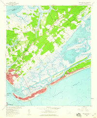
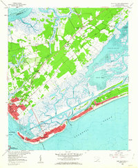
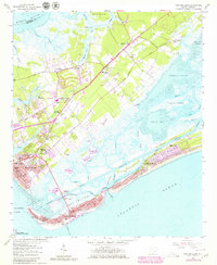
Editions of this 1959 Fort Moultrie Map
5 editions found
Other maps of this area

1919 · The Jetties
USGS Topo · 1:21,120

1919 · Capers Island
USGS Topo · 1:21,120

1919 · Wando
USGS Topo · 1:21,120

1919 · Melgrove
USGS Topo · 1:21,120

1919 · Charleston
USGS Topo · 1:21,120

1919 · James Island
USGS Topo · 1:21,120

1919 · Fort Moultrie
USGS Topo · 1:21,120

1919 · Sewee Bay
USGS Topo · 1:21,120

1940 · Melgrove
USGS Topo · 1:24,000

1943 · Capers Island
USGS Topo · 1:24,000
Featured Places
- Charleston, SC
- Mount Pleasant, SC
- Isle of Palms, SC
- Waterway Arms, Mount Pleasant
- Brook Green Meadow, Mount Pleasant