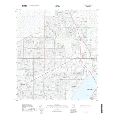
2021 Map of Fort Myers NW
USGS Topo · Published 2021About this map
The Caloosahatchee River serves as the primary geographic anchor for this 2021 study, framing the transition between the urbanized grid of Cape Coral and the northern reaches of Fort Myers. This map illustrates the intricate canal systems that define the region, such as the Gator Slough Canal and Hancock Creek, which feed into the Okeechobee Waterway. The landscape is a dense network of residential development, interspersed with recreational and logistical markers like the Del Prado Linear Park Trl and the Lee Government Center Cape Coral.
Find a feature on this map
267 named features on this map. Tap any name to fly to it.
Don’t see what you’re looking for? This feature index may not catch every label — zoom into the map to look around manually.
Map Details
Editions of this 2021 Fort Myers NW Map
This is the sole edition of this map. No revisions or reprints were ever made.
Other maps of this area

1956 · Punta Gorda SE
USGS Topo · 1:24,000

1956 · West Palm Beach
USGS Topo · 1:250,000

1956 · Tampa
USGS Topo · 1:250,000

1956 · Charlotte Harbor
USGS Topo · 1:250,000

1957 · West Palm Beach
USGS Topo · 1:250,000

1957 · Tuckers Corner
USGS Topo · 1:24,000

1957 · Gilchrist
USGS Topo · 1:24,000

1958 · West Palm Beach
USGS Topo · 1:250,000

1958 · Matlacha
USGS Topo · 1:24,000

1958 · Fort Myers NW
USGS Topo · 1:24,000
Featured Places
- Cape Coral, FL
- Fort Myers, FL
- North Fort Myers, FL
- Swan Lake Travel Trailer Park, FL
- Habitat for Humanity Housing, FL