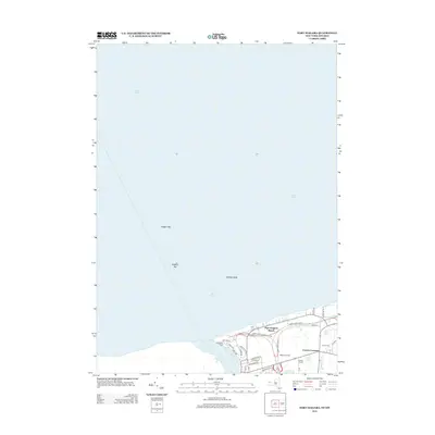
2013 Map of Fort Niagara
USGS Topo · Published 2013About this map
Lake Ontario and the terminal reach of the Niagara River dominate this modern survey, highlighting the delicate transition from riverine to lacustrine environments. The northern shoreline is characterized by significant underwater features including the Niagara Bar, the Niagara Fan, and Rumsey Shoal, which indicate the complex depositional patterns at the river's mouth. This area serves as a critical point of international geography where the river marks a clear boundary between the United States and Canada.
Find a feature on this map
30 named features on this map. Tap any name to fly to it.
Don’t see what you’re looking for? This feature index may not catch every label — zoom into the map to look around manually.
Map Details
Editions of this 2013 Fort Niagara Map
This is the sole edition of this map. No revisions or reprints were ever made.
Other maps of this area

1894 · Niagara Falls
USGS Topo · 1:62,500

1894 · Wilson
USGS Topo · 1:62,500

1896 · Niagara Falls
USGS Topo · 1:62,500

1897 · Tonawanda
USGS Topo · 1:62,500

1899 · Niagara
USGS Topo · 1:125,000

1900 · Wilson
USGS Topo · 1:62,500

1900 · Tonawanda
USGS Topo · 1:62,500

1900 · Niagara Falls
USGS Topo · 1:62,500

1901 · Niagara Falls
USGS Topo · 1:62,500

1901 · Tonawanda
USGS Topo · 1:62,500