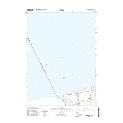
2016 Map of Fort Niagara
USGS Topo · Published 2016About this map
The Niagara River serves as the international boundary between the United States and Canada on this northern frontier. Centered on the historic strategic point where the river meets Lake Ontario, the map documents the modern shoreline and the village of Youngstown. While much of the sheet is dominated by the open waters of the lake, including navigational hazards like Niagara Bar and Rumsey Shoal, the land portion reveals a mix of residential development and preserved sites. Genealogists and historians will note the presence of Fort Niagara Cem and the Towers Cem near the intersection of Towers Corners. Residential streets such as Northfield Dr and Carrollwood Dr trace the growth of the community south of the established Fort Niagara Beach.
Find a feature on this map
21 named features on this map. Tap any name to fly to it.
Don’t see what you’re looking for? This feature index may not catch every label — zoom into the map to look around manually.
Map Details
Editions of this 2016 Fort Niagara Map
This is the sole edition of this map. No revisions or reprints were ever made.
Other maps of this area

1894 · Niagara Falls
USGS Topo · 1:62,500

1894 · Wilson
USGS Topo · 1:62,500

1896 · Niagara Falls
USGS Topo · 1:62,500

1897 · Tonawanda
USGS Topo · 1:62,500

1899 · Niagara
USGS Topo · 1:125,000

1900 · Wilson
USGS Topo · 1:62,500

1900 · Tonawanda
USGS Topo · 1:62,500

1900 · Niagara Falls
USGS Topo · 1:62,500

1901 · Niagara Falls
USGS Topo · 1:62,500

1901 · Tonawanda
USGS Topo · 1:62,500