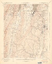
1942 Map of Fort Oglethorpe
USGS Topo · Published 1946About this map
Chickamauga and Chattanooga National Military Park dominates the southeastern quadrant of this survey, detailing the memorialized landscape where the historic battle occurred. The map identifies specific structures of significant local and military interest, such as the Snodgrass House, Dyer House, and Brotherton House. The geography is defined by the prominent heights of Lookout Mountain and Missionary Ridge, separated by the Chattanooga Valley and the waters of Chattanooga Creek. To the north, the growing urban areas of Rossville and St Elmo flank the Georgia-Tennessee border, while the eastern edge features the Military Reservation at Fort Oglethorpe. Transport infrastructure includes the Central of Georgia RR and the Tennessee Georgia RR, illustrating the rail connections between Chattanooga and its neighboring communities. Local life is further anchored by landmarks like Rock City Gardens and the Lee and Gordon Mill at the southern edge of the sheet.
Find a feature on this map
79 named features on this map. Tap any name to fly to it.
Don’t see what you’re looking for? This feature index may not catch every label — zoom into the map to look around manually.
Map Details
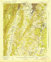
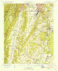
Editions of this 1942 Fort Oglethorpe Map
3 editions found
Other maps of this area

1886 · Ringgold
USGS Topo · 1:125,000

1888 · Chattanooga
USGS Topo · 1:125,000

1892 · Ringgold
USGS Topo · 1:125,000

1893 · Chattanooga
USGS Topo · 1:125,000

1935 · East Chattanooga
USGS Topo · 1:24,000

1935 · East Ridge
USGS Topo · 1:24,000

1935 · Durham
USGS Topo · 1:24,000

1935 · Nickajack Gap
USGS Topo · 1:24,000

1936 · Kensington
USGS Topo · 1:24,000

1936 · Hooker
USGS Topo · 1:24,000