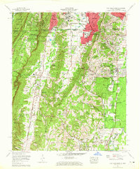
1958 Map of Fort Oglethorpe
USGS Topo · Published 1965About this map
Chickamauga and Chattanooga National Military Park dominates the eastern half of this landscape, preserving the hallowed ground of the Civil War battlefield. The map details the specific tactical sites within the park, including Snodgrass Field, Brotherton Field, and the Wilder Tower, along with historic structures such as the Snodgrass House and the Lee and Gordon Mill on the banks of West Chickamauga Creek.
Find a feature on this map
73 named features on this map. Tap any name to fly to it.
Don’t see what you’re looking for? This feature index may not catch every label — zoom into the map to look around manually.
Map Details
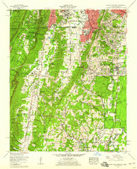
Editions of this 1958 Fort Oglethorpe Map
2 editions found
Other maps of this area

1886 · Ringgold
USGS Topo · 1:125,000

1888 · Chattanooga
USGS Topo · 1:125,000

1892 · Ringgold
USGS Topo · 1:125,000

1893 · Chattanooga
USGS Topo · 1:125,000

1935 · East Chattanooga
USGS Topo · 1:24,000

1935 · East Ridge
USGS Topo · 1:24,000

1935 · Durham
USGS Topo · 1:24,000

1935 · Nickajack Gap
USGS Topo · 1:24,000

1936 · Kensington
USGS Topo · 1:24,000

1936 · Hooker
USGS Topo · 1:24,000