Loading...
Loading map...2024 Map of Fort Payne
USGS Topo · Published 2024About this map
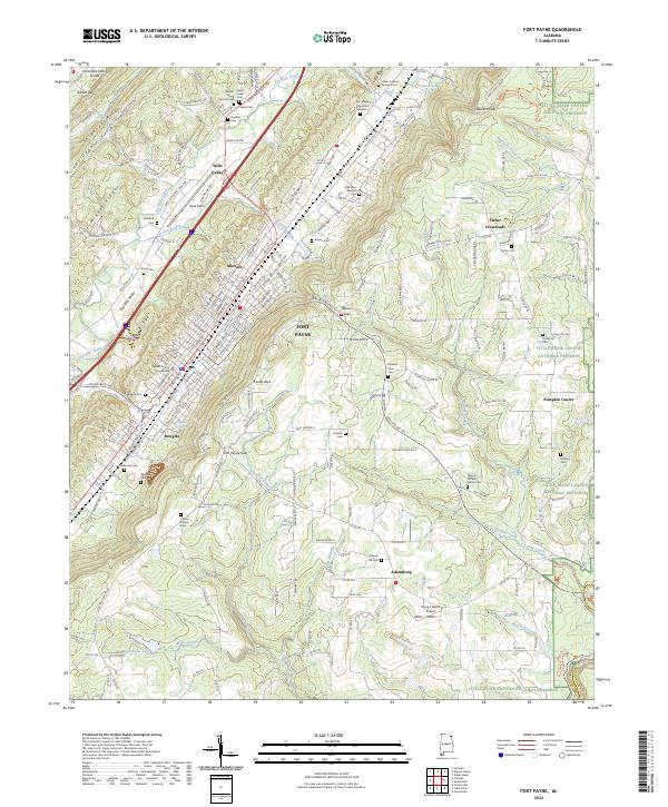
Big Wills Valley and its surrounding ridgelines define the landscape of DeKalb County in this recent survey. The urban core of Fort Payne sits concentrated along the Norfolk Southern rail line, anchored by the DeKalb County Courthouse. Local heritage is deeply etched into the hillsides through numerous small family and community burial grounds, such as the Willstown Mission Cem and Lankford Cem.
Find a feature on this map
203 named features on this map. Tap any name to fly to it.
Don’t see what you’re looking for? This feature index may not catch every label — zoom into the map to look around manually.
Map Details
Date Portrayed2024
Date Published2024
PublisherU.S. Geological Survey
Map TypeTopographic
Scale1:24000
Physical Dimensions24 x 29 inches
Editions of this 2024 Fort Payne Map
This is the sole edition of this map. No revisions or reprints were ever made.
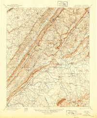
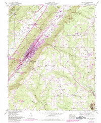
Historical Maps of Adamsburg Through Time
5 maps found


Featured Locations
Source Details
SourceU.S. Geological Survey
CopyrightPublic Domain