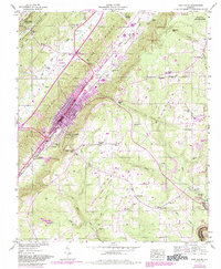
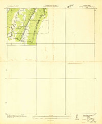
1946 Map of Fort Payne
USGS Topo · Published 1984About this map
Fort Payne sits at the center of this 1946 survey, its urban boundary expanding along the corridor of the Southern Railroad. The landscape is sharply defined by the dramatic ascent from the floor of Wills Valley up the western escarpment of Lookout Mountain, where the terrain transitions from industrial rail access to the protected lands of De Soto State Park. This transition is marked by localized settlement patterns, such as the cluster of homes at Minvale and the network of country churches including Log Cabin Chapel and Adamsburg.
Find a feature on this map
67 named features on this map. Tap any name to fly to it.
Don’t see what you’re looking for? This feature index may not catch every label — zoom into the map to look around manually.
Map Details
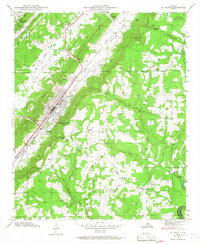
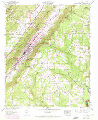
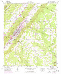
Editions of this 1946 Fort Payne Map
5 editions found

Other maps of this area

1886 · Stevenson
USGS Topo · 1:125,000

1892 · Stevenson
USGS Topo · 1:125,000

1893 · Fort Payne
USGS Topo · 1:125,000

1895 · Stevenson
USGS Topo · 1:125,000

1898 · Fort Payne
USGS Topo · 1:125,000

1900 · Fort Payne
USGS Topo · 1:125,000

1936 · Dugout Valley
USGS Topo · 1:24,000

1936 · Chavies
USGS Topo · 1:24,000

1936 · Sylvania
USGS Topo · 1:24,000
1936 · Little Falls
USGS Topo · 1:24,000