
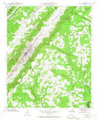
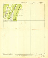
1946 Map of Ft Payne
USGS Topo · Published 1960About this map
Fort Payne serves as the industrial and social anchor of this mid-century landscape, situated in the fertile Wills Valley between the dramatic elevations of Sand Mountain and Lookout Mountain. The 1946 field examination by the Tennessee Valley Authority reveals a complex network of rural life, from the Southern Railroad corridor to the numerous family-named landmarks like Fisher Crossroads and Lankford Cem.
Find a feature on this map
59 named features on this map. Tap any name to fly to it.
Don’t see what you’re looking for? This feature index may not catch every label — zoom into the map to look around manually.
Map Details
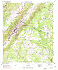
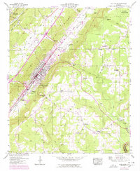
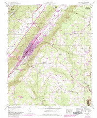
Editions of this 1946 Ft Payne Map
5 editions found
Other maps of this area

1886 · Stevenson
USGS Topo · 1:125,000

1892 · Stevenson
USGS Topo · 1:125,000

1893 · Fort Payne
USGS Topo · 1:125,000

1895 · Stevenson
USGS Topo · 1:125,000

1898 · Fort Payne
USGS Topo · 1:125,000

1900 · Fort Payne
USGS Topo · 1:125,000

1936 · Dugout Valley
USGS Topo · 1:24,000

1936 · Chavies
USGS Topo · 1:24,000

1936 · Sylvania
USGS Topo · 1:24,000
1936 · Little Falls
USGS Topo · 1:24,000