1946 Map of Fort Payne
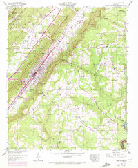
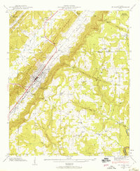
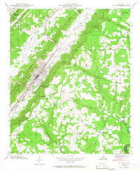
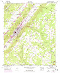
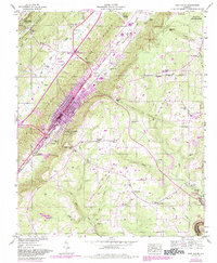
USGS Topo · Published 1972About this map
Fort Payne sits at the heart of this post-war landscape, situated along the Southern Railroad where Big Wills Creek and Little Wills Creek divide the terrain of Shinbone Ridge and Lookout Mountain. The 1970 revisions, marked in purple, illustrate the area's growth through the expansion of infrastructure like the Sewage Disposal Plant and the establishment of local leisure sites, including a Golf Course and Drive-In Theater near Minvale.
Find a feature on this map
66 named features on this map. Tap any name to fly to it.
Don’t see what you’re looking for? This feature index may not catch every label — zoom into the map to look around manually.
Map Details
Editions of this 1946 Fort Payne Map
5 editions found
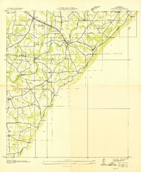
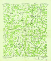
Other maps of this area

1886 · Stevenson
USGS Topo · 1:125,000

1892 · Stevenson
USGS Topo · 1:125,000

1893 · Fort Payne
USGS Topo · 1:125,000

1895 · Stevenson
USGS Topo · 1:125,000

1898 · Fort Payne
USGS Topo · 1:125,000

1900 · Fort Payne
USGS Topo · 1:125,000

1936 · Dugout Valley
USGS Topo · 1:24,000
1936 · Chavies
USGS Topo · 1:24,000
1936 · Sylvania
USGS Topo · 1:24,000

1936 · Little Falls
USGS Topo · 1:24,000