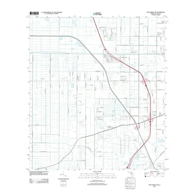
2012 Map of Fort Pierce NW
USGS Topo · Published 2012About this map
Agricultural drainage and aviation infrastructure define this section of St Lucie County just north of the city. The landscape is heavily structured by a network of canals and straight-line roads, most notably the Belcher Canal and N Header Canal Rd, which together manage the water levels of this coastal plain. The presence of multiple small airstrips, including Baggett Airport and the colorful Williams Hawgwild Airport, alongside the edge of the St Lucie County International Airport, illustrates the importance of regional flight for both commerce and private use.
Find a feature on this map
102 named features on this map. Tap any name to fly to it.
Don’t see what you’re looking for? This feature index may not catch every label — zoom into the map to look around manually.
Map Details
Editions of this 2012 Fort Pierce NW Map
This is the sole edition of this map. No revisions or reprints were ever made.
Other maps of this area

1948 · Ankona
USGS Topo · 1:24,000

1948 · Indrio
USGS Topo · 1:24,000

1949 · Fort Pierce
USGS Topo · 1:24,000

1949 · Oslo
USGS Topo · 1:24,000

1949 · Fort Pierce NW
USGS Topo · 1:24,000

1950 · Ankona
USGS Topo · 1:24,000

1950 · Fort Pierce
USGS Topo · 1:24,000

1950 · Fort Pierce NW
USGS Topo · 1:24,000

1950 · Oslo
USGS Topo · 1:24,000

1950 · Indrio
USGS Topo · 1:24,000