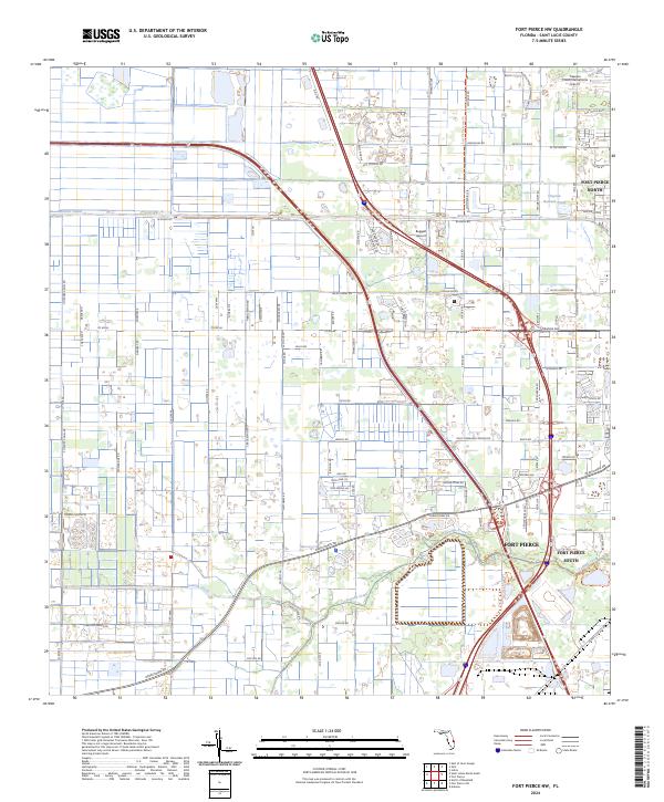
2024 Map of Fort Pierce NW
USGS Topo · Published 2024About this map
Fort Pierce North and its surrounding communities are defined by a complex grid of residential development and agricultural drainage systems just inland from the Atlantic coast. The landscape is structured by extensive water management features, including the Belcher Canal and the meandering path of Tenmile Creek, which transitions into the Tenmile Creek Trl as it approaches the more densely settled areas. These waterways provide a stark contrast to the rigid road networks that partition the citrus groves and residential blocks of St. Lucie County. Aviation infrastructure is a primary landmark here, with the sprawling Treasure Coast International Airport occupying the northeastern corner and the smaller Baggett Airport located further south. The map documents the continued expansion of the city into the traditional citrus and ranch lands, where modern industrial zones like the Airport West Commerce Park Rd now sit alongside family-named landmarks like Clayton Howard Pond.
Find a feature on this map
113 named features on this map. Tap any name to fly to it.
Don’t see what you’re looking for? This feature index may not catch every label — zoom into the map to look around manually.
Map Details
Editions of this 2024 Fort Pierce NW Map
This is the sole edition of this map. No revisions or reprints were ever made.
Other maps of this area

1948 · Ankona
USGS Topo · 1:24,000

1948 · Indrio
USGS Topo · 1:24,000

1949 · Fort Pierce
USGS Topo · 1:24,000

1949 · Oslo
USGS Topo · 1:24,000

1949 · Fort Pierce NW
USGS Topo · 1:24,000

1950 · Ankona
USGS Topo · 1:24,000

1950 · Fort Pierce
USGS Topo · 1:24,000

1950 · Fort Pierce NW
USGS Topo · 1:24,000

1950 · Oslo
USGS Topo · 1:24,000

1950 · Indrio
USGS Topo · 1:24,000