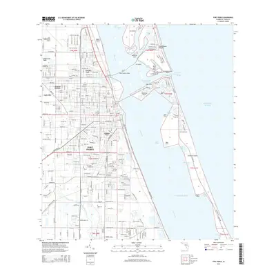
2015 Map of Fort Pierce
USGS Topo · Published 2015About this map
Fort Pierce serves as the focal point of this coastal survey, where the Indian River lagoon separates the mainland from the barrier complex of North Hutchinson Island. The landscape is a dense network of neighborhoods like Paradise Park, Sunland Gardens, and White City, organized around a grid of canals and drainage features including the Belcher Canal and Tenmile Creek. The marine environment is highly defined by navigational infrastructure, featuring the Intracoastal Waterway and complex inlets such as Snapper Cut and Fort Pierce Inlet.
Find a feature on this map
64 named features on this map. Tap any name to fly to it.
Don’t see what you’re looking for? This feature index may not catch every label — zoom into the map to look around manually.
Map Details
Editions of this 2015 Fort Pierce Map
This is the sole edition of this map. No revisions or reprints were ever made.
Other maps of this area

1948 · Ankona
USGS Topo · 1:24,000

1948 · Eden
USGS Topo · 1:24,000

1948 · Indrio
USGS Topo · 1:24,000

1949 · Fort Pierce
USGS Topo · 1:24,000

1949 · Oslo
USGS Topo · 1:24,000

1949 · Fort Pierce NW
USGS Topo · 1:24,000

1950 · Ankona
USGS Topo · 1:24,000

1950 · Fort Pierce
USGS Topo · 1:24,000

1950 · Fort Pierce NW
USGS Topo · 1:24,000

1950 · Oslo
USGS Topo · 1:24,000