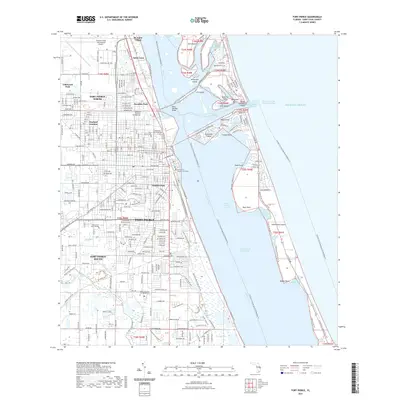
2021 Map of Fort Pierce
USGS Topo · Published 2021About this map
The Atlantic coast of Florida near Fort Pierce is defined by the expansive Indian River Lagoon and the narrow barrier of Hutchinson Island. This 2021 survey illustrates a densely populated coastal corridor, where residential developments like Sunland Gardens and Paradise Park sit just inland from the Intracoastal Waterway. The map captures the complex aquatic geography of the region, from the tidal flow at the Fort Pierce Inlet to the protected habitats of Jack Island State Park and Mangrove Island. Significant local infrastructure is present, including the Saint Lucie County Courthouse and Indian River State College. Cultural and genealogical landmarks are well-represented, including the Garden of Heavenly Rest Cem and White City Cem and Mausoleum, alongside the long-standing community of St. Lucie Village. The landscape is also crisscrossed by recreational paths such as the Florida Circumnavigational Paddling Trl and the Zora Neale Hurston Dust Tracks Heritage Trl, reflecting the area's contemporary focus on heritage and environmental conservation.
Find a feature on this map
71 named features on this map. Tap any name to fly to it.
Don’t see what you’re looking for? This feature index may not catch every label — zoom into the map to look around manually.
Map Details
Editions of this 2021 Fort Pierce Map
This is the sole edition of this map. No revisions or reprints were ever made.
Other maps of this area

1948 · Ankona
USGS Topo · 1:24,000

1948 · Eden
USGS Topo · 1:24,000

1948 · Indrio
USGS Topo · 1:24,000

1949 · Fort Pierce
USGS Topo · 1:24,000

1949 · Oslo
USGS Topo · 1:24,000

1949 · Fort Pierce NW
USGS Topo · 1:24,000

1950 · Ankona
USGS Topo · 1:24,000

1950 · Fort Pierce
USGS Topo · 1:24,000

1950 · Fort Pierce NW
USGS Topo · 1:24,000

1950 · Oslo
USGS Topo · 1:24,000