
1949 Map of Fort Randall
USGS Topo · Published 1958About this map
Fort Randall and its adjacent Air Force Base anchor the southern tip of the Alaska Peninsula in this mid-century survey. The landscape is defined by the heavy maritime influence of the Bering Sea and Cold Bay, which separate the rugged volcanic peaks from the surrounding islands. Coastal life centers on small outposts like Belkofski and King Cove, while an abandoned cannery near Morzhovoi Bay points to the area's industrial history in the fishing trade. The interior is dominated by striking geological formations such as the Aghileen Pinnacles, Frosty Peak, and Mt Emmons. This 1949 compilation, based on 1942 and 1943 aerial photography, provides a clear view of the region's strategic military importance and its natural isolation before the development of modern infrastructure in the Aleutians East region.
Find a feature on this map
66 named features on this map. Tap any name to fly to it.
Don’t see what you’re looking for? This feature index may not catch every label — zoom into the map to look around manually.
Map Details
Editions of this 1949 Fort Randall Map
This is the sole edition of this map. No revisions or reprints were ever made.
Other maps of this area

1943 · Fort Randall
USGS Topo · 1:250,000
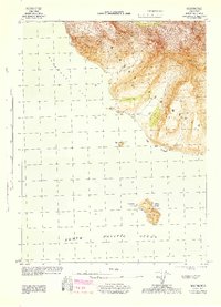
1944 · Cold Bay Sheet No. 20 of 25
USGS Topo · 1:25,000
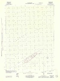
1944 · Cold Bay Sheet No. 1 of 25
USGS Topo · 1:25,000
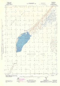
1944 · Cold Bay Sheet No. 2 of 25
USGS Topo · 1:25,000

1949 · False Pass
USGS Topo · 1:250,000

1950 · False Pass
USGS Topo · 1:250,000

1950 · Fort Randall
USGS Topo · 1:250,000

1951 · Unimak
USGS Topo · 1:250,000

1953 · Port Moller
USGS Topo · 1:250,000

1958 · Unimak
USGS Topo · 1:250,000