
1955 Map of Fort Riley NE
USGS Topo · Published 1958About this map
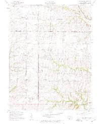
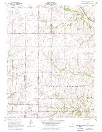
Fort Riley Military Reservation dominates the southern landscape of this 1950s survey, illustrating the extensive military footprint in northeastern Kansas during the mid-century. The map captures a transition between the organized grids of Madison and Milford townships and the rugged drainage basins of Wildcat Creek and Sevenmile Creek. This period reveals a landscape of rural education and community markers, such as Magic School and the Vinton School, alongside early infrastructure like Governor Harvey Canyon Road.
Find a feature on this map
23 named features on this map. Tap any name to fly to it.
Don’t see what you’re looking for? This feature index may not catch every label — zoom into the map to look around manually.
Map Details
Editions of this 1955 Fort Riley NE Map
3 editions found
Other maps of this area

1886 · Junction City
USGS Topo · 1:125,000

1889 · Junction City
USGS Topo · 1:125,000

1894 · Junction City
USGS Topo · 1:125,000

1947 · Manhattan
USGS Topo · 1:62,500

1947 · Fort Riley
USGS Topo · 1:62,500

1950 · Keats
USGS Topo · 1:24,000

1950 · Junction City
USGS Topo · 1:24,000

1950 · Alida
USGS Topo · 1:24,000

1951 · Ogden
USGS Topo · 1:24,000

1951 · Wind Creek
USGS Topo · 1:24,000