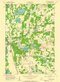
1956 Map of Fort Ripley
USGS Topo · Published 1958About this map
Camp Ripley Military Reservation dominates the western landscape of this mid-century survey, positioned where the Clough River meets the Mississippi River. The terrain is defined by a dense network of glacial lakes and wetlands, including Crow Wing Lake and the winding Nokasippi River. Small rural settlements like St Mathias and the railway stop at Lennox anchor the local community, which is serviced by several one-room schoolhouses such as School No 13 and School No 8.
Find a feature on this map
35 named features on this map. Tap any name to fly to it.
Don’t see what you’re looking for? This feature index may not catch every label — zoom into the map to look around manually.
Map Details
Editions of this 1956 Fort Ripley Map
2 editions found
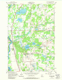
Other maps of this area

1915 · Brainerd
USGS Topo · 1:62,500

1916 · Pillager
USGS Topo · 1:62,500

1918 · Brainerd
USGS Topo · 1:62,500

1919 · Pillager
USGS Topo · 1:62,500

1948 · Belle Prairie
USGS Topo · 1:62,500

1948 · Lastrup
USGS Topo · 1:62,500

1950 · Lastrup
USGS Topo · 1:62,500

1950 · Belle Prairie
USGS Topo · 1:62,500

1953 · Brainerd
USGS Topo · 1:250,000

1954 · Baxter
USGS Topo · 1:24,000