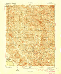
1944 Map of Fort Ross
USGS Topo · Published 1944About this map
The Fort Ross State Historic Monument anchors this coastal survey, where the rugged topography of the Sonoma coast meets the Pacific. Surveyed during the early 1940s, the map reveals a landscape defined by steep ridges and deep gulches, with the South Fork Gualala River carving through the center. Small settlements and family holdings like Seafeldt Ranch and Happy Hill Ranch appear alongside community landmarks such as Seaview Cem and the Creighton Ridge Sch.
Find a feature on this map
55 named features on this map. Tap any name to fly to it.
Don’t see what you’re looking for? This feature index may not catch every label — zoom into the map to look around manually.
Map Details
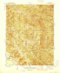
Editions of this 1944 Fort Ross Map
2 editions found
Other maps of this area

1921 · Skaggs
USGS Topo · 1:62,500

1921 · Plantation
USGS Topo · 1:62,500

1942 · Arched Rock
USGS Topo · 1:24,000

1943 · Tombs Creek
USGS Topo · 1:24,000

1943 · Plantation
USGS Topo · 1:24,000

1943 · Cazadero
USGS Topo · 1:24,000

1943 · Annapolis
USGS Topo · 1:24,000

1943 · Duncans Mills
USGS Topo · 1:24,000

1943 · Skaggs Springs
USGS Topo · 1:24,000

1943 · Fort Ross
USGS Topo · 1:24,000