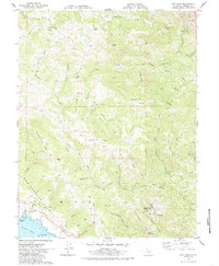
1978 Map of Fort Ross
USGS Topo · Published 1985About this map
Fort Ross State Historic Park anchors the coastal corner of this survey, preserving the legacy of the Russian-era outpost on the Sonoma coast. The landscape is defined by the massive San Andreas Fault Zone, which carves a distinct northwest-southeast trench through the terrain, separating the coastal bluffs of Fort Ross from the interior ridges. Inland, the map reveals a remote network of family-named landmarks and ridge-top features like Marshall Ridge and Mohrhardt Ridge.
Find a feature on this map
68 named features on this map. Tap any name to fly to it.
Don’t see what you’re looking for? This feature index may not catch every label — zoom into the map to look around manually.
Map Details
Editions of this 1978 Fort Ross Map
2 editions found
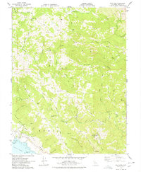
Other maps of this area

1921 · Skaggs
USGS Topo · 1:62,500

1921 · Plantation
USGS Topo · 1:62,500

1942 · Arched Rock
USGS Topo · 1:24,000

1943 · Tombs Creek
USGS Topo · 1:24,000

1943 · Plantation
USGS Topo · 1:24,000

1943 · Cazadero
USGS Topo · 1:24,000

1943 · Annapolis
USGS Topo · 1:24,000

1943 · Duncans Mills
USGS Topo · 1:24,000

1943 · Skaggs Springs
USGS Topo · 1:24,000

1943 · Fort Ross
USGS Topo · 1:24,000