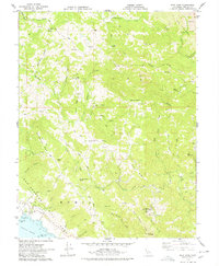
1978 Map of Fort Ross
USGS Topo · Published 1978About this map
The San Andreas Fault Zone slices dramatically through the coastal landscape of Sonoma County, defining the geology between the Pacific shore and the rising interior ridges. Along the immediate coast, Fort Ross State Historic Park and the adjacent Call Ranch sit perched above Fort Ross Cove, marking a site of early nineteenth-century Russian settlement. The terrain transitions quickly from the shore to high points like Table Mtn and Pole Mtn, where a network of ridge-top roads and fire trails connects isolated landmarks such as the Seaview Cem and the Laton Mine near the northern boundary.
Find a feature on this map
56 named features on this map. Tap any name to fly to it.
Don’t see what you’re looking for? This feature index may not catch every label — zoom into the map to look around manually.
Map Details
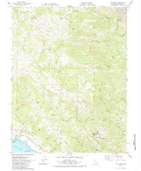
Editions of this 1978 Fort Ross Map
2 editions found
Other maps of this area

1921 · Skaggs
USGS Topo · 1:62,500

1921 · Plantation
USGS Topo · 1:62,500

1942 · Arched Rock
USGS Topo · 1:24,000

1943 · Tombs Creek
USGS Topo · 1:24,000

1943 · Plantation
USGS Topo · 1:24,000

1943 · Cazadero
USGS Topo · 1:24,000

1943 · Annapolis
USGS Topo · 1:24,000

1943 · Duncans Mills
USGS Topo · 1:24,000

1943 · Skaggs Springs
USGS Topo · 1:24,000

1943 · Fort Ross
USGS Topo · 1:24,000