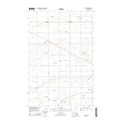
2014 Map of Fort Shaw
USGS Topo · Published 2014About this map
Fort Shaw and the surrounding irrigation landscape of the Sun River Valley are documented here in 2014, reflecting a sophisticated network of water management in north-central Montana. The settlement of Fort Shaw sits near the Sun River, accompanied by the Ft Shaw Cem, while the hamlet of Ashuelot occupies a central position beneath the broad Ashuelot Bench. The terrain is characterized by distinct geographical levels like First Bench and deep cuts such as Blackfoot Coulee. A complex system of human engineering is visible throughout the quadrangle, with numerous waterways including the Greenfield S Canal, Birchmeade Canal, and the Sun River Valley Ditch crisscrossing the plains. These features highlight the importance of water rights and agricultural development in this high-plains region, where the Mill Coulee Cr and Adobe Cr provide natural drainage alongside man-made structures like Canal K and the Rocky Reef Canal.
Find a feature on this map
40 named features on this map. Tap any name to fly to it.
Don’t see what you’re looking for? This feature index may not catch every label — zoom into the map to look around manually.
Map Details
Editions of this 2014 Fort Shaw Map
This is the sole edition of this map. No revisions or reprints were ever made.
Other maps of this area

1886 · Great Falls
USGS Topo · 1:250,000

1949 · Cascade
USGS Topo · 1:62,500

1949 · Vaughn
USGS Topo · 1:62,500

1950 · Fairfield
USGS Topo · 1:62,500

1951 · Cascade
USGS Topo · 1:62,500

1952 · Vaughn
USGS Topo · 1:62,500

1954 · Great Falls
USGS Topo · 1:250,000

1957 · Great Falls
USGS Topo · 1:250,000

1960 · Simms
USGS Topo · 1:62,500

1976 · Great Falls North
USGS Topo · 1:100,000