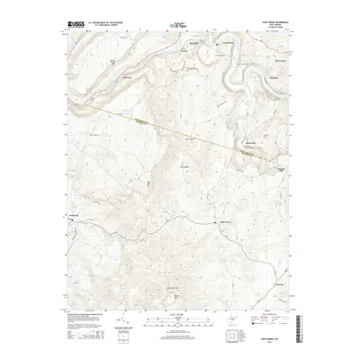
2014 Map of Fort Spring
USGS Topo · Published 2014About this map
The Greenbrier River carves a winding path through this portion of the Allegheny Mountains, marking the border between Greenbrier Co and Monroe Co. The landscape is defined by its subterranean and hydraulic engineering, featuring a series of railroad passages including the Fort Spring Tunnel, Second Creek Tunnel, and Manns Tunnel that pierce the limestone ridges. Along the river and its tributaries, early industrial sites remain notable, such as Hokes Mill and the Hokes Mill Covered Bridge spanning Second Cr. The topography transitions from the heights of Muddy Creek Mtn and Swoopes Knobs down to the karst features of Sinks Grove, where natural springs like John Kirby Spring and Rockland Spring emerge. Scattered settlements such as Fort Spring, Wolfcreek, and Pickaway anchor the rural crossroads of this Appalachian corridor.
Find a feature on this map
72 named features on this map. Tap any name to fly to it.
Don’t see what you’re looking for? This feature index may not catch every label — zoom into the map to look around manually.
Map Details
Editions of this 2014 Fort Spring Map
This is the sole edition of this map. No revisions or reprints were ever made.
Other maps of this area

1887 · Hinton
USGS Topo · 1:125,000

1887 · Lewisburg
USGS Topo · 1:125,000

1891 · Lewisburg
USGS Topo · 1:125,000

1892 · Hinton
USGS Topo · 1:125,000

1921 · Alderson
USGS Topo · 1:48,000

1921 · White Sulphur Springs
USGS Topo · 1:48,000

1921 · Clintonville
USGS Topo · 1:48,000

1921 · Ronceverte
USGS Topo · 1:48,000

1923 · Clintonville
USGS Topo · 1:62,500

1923 · White Sulphur Springs
USGS Topo · 1:62,500