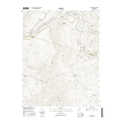
2016 Map of Fort Spring
USGS Topo · Published 2016About this map
The Greenbrier River carves a deep path through the West Virginia landscape here, defining the boundary between Greenbrier and Monroe counties. This area is marked by significant historical engineering along the river corridor, including the Fort Spring Tunnel, Manns Tunnel, and Second Creek Tunnel. These rail passages reflect the region's historical reliance on rugged transportation networks. Local industry and social hubs are anchored by landmarks like Hokes Mill and the Hokes Mill Covered Bridge, along with the neighboring Nickells Mill.
Find a feature on this map
90 named features on this map. Tap any name to fly to it.
Don’t see what you’re looking for? This feature index may not catch every label — zoom into the map to look around manually.
Map Details
Editions of this 2016 Fort Spring Map
This is the sole edition of this map. No revisions or reprints were ever made.
Other maps of this area

1887 · Hinton
USGS Topo · 1:125,000

1887 · Lewisburg
USGS Topo · 1:125,000

1891 · Lewisburg
USGS Topo · 1:125,000

1892 · Hinton
USGS Topo · 1:125,000

1921 · Alderson
USGS Topo · 1:48,000

1921 · White Sulphur Springs
USGS Topo · 1:48,000

1921 · Clintonville
USGS Topo · 1:48,000

1921 · Ronceverte
USGS Topo · 1:48,000

1923 · Clintonville
USGS Topo · 1:62,500

1923 · White Sulphur Springs
USGS Topo · 1:62,500