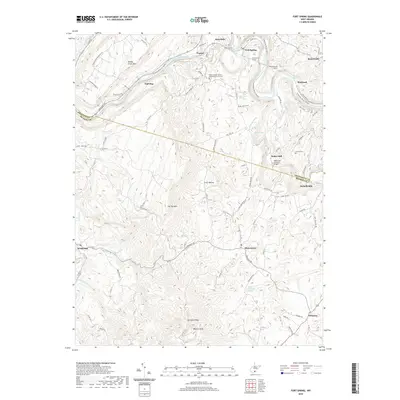
2019 Map of Fort Spring
USGS Topo · Published 2019About this map
The Greenbrier River winds through this landscape, defining the northern border and shaping the local topography between the ridges of Muddy Creek Mtn and Flat Top Mtn. This area in Greenbrier and Monroe Counties shows a settlement pattern deeply connected to the river and rail, with the Fort Spring Tunnel, Manns Tunnel, and Second Creek Tunnel facilitating transport through the elevation changes. Historic crossroads like Sinks Grove and Pickaway anchor the southern agricultural valley, while the northern riverbanks are dotted with smaller communities like Snowflake and Frazier.
Find a feature on this map
96 named features on this map. Tap any name to fly to it.
Don’t see what you’re looking for? This feature index may not catch every label — zoom into the map to look around manually.
Map Details
Editions of this 2019 Fort Spring Map
This is the sole edition of this map. No revisions or reprints were ever made.
Other maps of this area

1887 · Hinton
USGS Topo · 1:125,000

1887 · Lewisburg
USGS Topo · 1:125,000

1891 · Lewisburg
USGS Topo · 1:125,000

1892 · Hinton
USGS Topo · 1:125,000

1921 · Alderson
USGS Topo · 1:48,000

1921 · White Sulphur Springs
USGS Topo · 1:48,000

1921 · Clintonville
USGS Topo · 1:48,000

1921 · Ronceverte
USGS Topo · 1:48,000

1923 · Clintonville
USGS Topo · 1:62,500

1923 · White Sulphur Springs
USGS Topo · 1:62,500