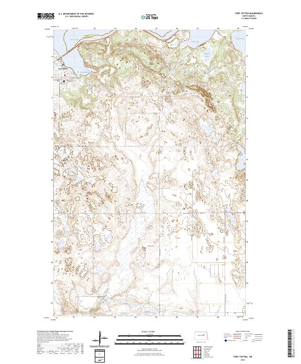
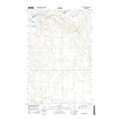
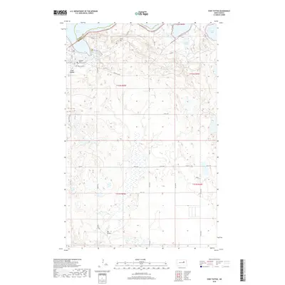
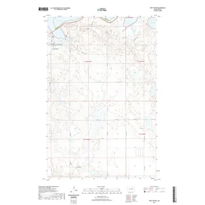
2024 Map of Fort Totten
USGS Topo · Published 2024About this map
Fort Totten sits at the heart of this landscape, characterized by the dramatic transition from the southern shores of Devils Lake and Mission Bay to the rising terrain of Sullys Hill. The map documents a significant intersection of cultural and natural conservation, featuring the Sullys Hill National Game Preserve and the extensive Benson County Waterfowl Production Area. These protected lands reflect the area's importance as a habitat within the northern plains ecosystem, punctuated by numerous water bodies like Sweetwater Lake and Mallard Lake.
Find a feature on this map
41 named features on this map. Tap any name to fly to it.
Don’t see what you’re looking for? This feature index may not catch every label — zoom into the map to look around manually.
Map Details
Editions of this 2024 Fort Totten Map
This is the sole edition of this map. No revisions or reprints were ever made.
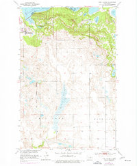
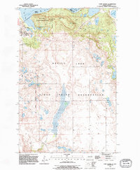
Historical Maps of Wood Lake District Through Time
7 maps found
Featured Locations
- Ramsey County, ND
- Wood Lake District, ND
- St. Michael District, ND
- Fort Totten District, ND
- Fort Totten, Fort Totten District