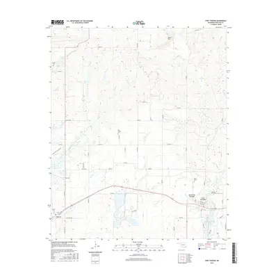
2016 Map of Fort Towson
USGS Topo · Published 2016About this map
Fort Towson and the adjacent West Fort Towson occupy the southeastern quadrant of this landscape, positioned north of the water of Lake Raymond Gary. The area's settlement history is deeply rooted in these town centers and the outlying community of Sawyer to the west. Genealogists will find several burial grounds across the terrain, from the Old Fort Towson Cem near the town center to the more remote Box Springs Cem and Schooler Cem in the northern reaches.
Find a feature on this map
58 named features on this map. Tap any name to fly to it.
Don’t see what you’re looking for? This feature index may not catch every label — zoom into the map to look around manually.
Map Details
Editions of this 2016 Fort Towson Map
This is the sole edition of this map. No revisions or reprints were ever made.
Other maps of this area

1901 · Alikchi
USGS Topo · 1:125,000

1950 · Mcalester
USGS Topo · 1:250,000

1951 · Frogville
USGS Topo · 1:24,000

1951 · Shoals
USGS Topo · 1:24,000

1951 · Kiomatia
USGS Topo · 1:24,000

1953 · Texarkana
USGS Topo · 1:250,000

1956 · Texarkana
USGS Topo · 1:250,000

1962 · McAlester
USGS Topo · 1:250,000

1962 · Sobol
USGS Topo · 1:24,000
1962 · Swink
USGS Topo · 1:24,000