
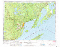
1959 Map of Fort William
USGS Topo · Published 1967About this map
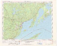
The northern reaches of Lake Superior and the international border between Michigan and Ontario define this 1959 topographic record. The twin industrial and shipping hubs of Port Arthur and Fort William dominate the western shore of Thunder Bay, showing a dense network of rail infrastructure with the Canadian Pacific and Canadian National lines converging on the waterfront. The surrounding landscape is a complex of agrarian valleys and timbered highlands, where small communities like Rosslyn Village and Slate River Valley contrast with the prominent geological features of the Sibley Peninsula, including The Sleeping Giant.
Find a feature on this map
153 named features on this map. Tap any name to fly to it.
Don’t see what you’re looking for? This feature index may not catch every label — zoom into the map to look around manually.
Map Details
Editions of this 1959 Fort William Map
3 editions found
Other maps of this area

1895 · Passage Island
USGS Topo · 1:62,500

1954 · Two Harbors
USGS Topo · 1:250,000

1957 · Two Harbors
USGS Topo · 1:250,000

1957 · Quetico
USGS Topo · 1:250,000

1958 · Two Harbors
USGS Topo · 1:250,000

1958 · Hancock
USGS Topo · 1:250,000
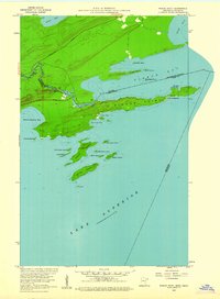
1959 · Pigeon Point
USGS Topo · 1:24,000

1959 · Mineral Center
USGS Topo · 1:24,000

1959 · Pine Lake East
USGS Topo · 1:24,000

1959 · Tom Lake
USGS Topo · 1:24,000