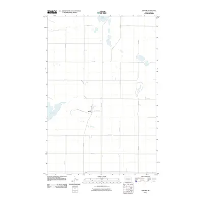
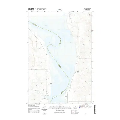
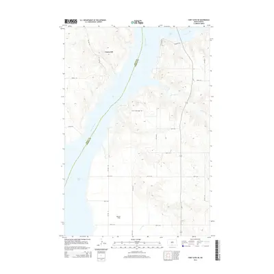
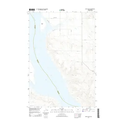
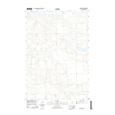
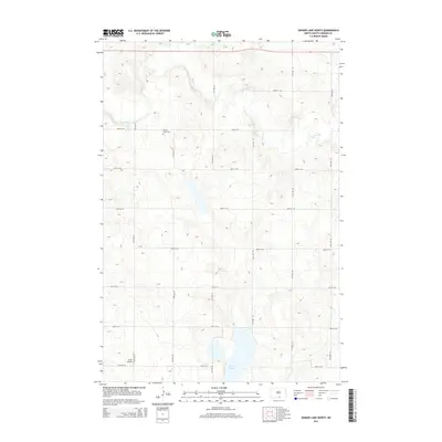
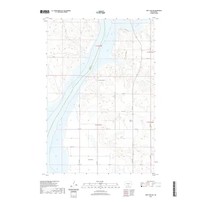
1968 Map of Fort Yates SE
USGS Topo · Published 1971About this map
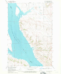
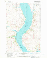
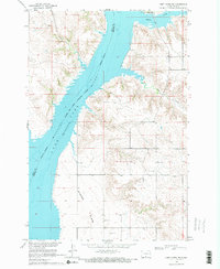
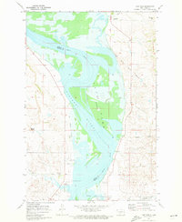
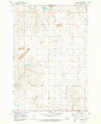
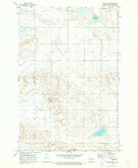
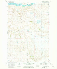
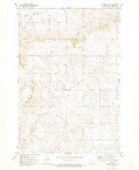
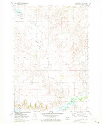
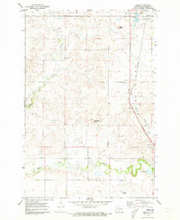
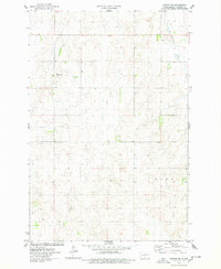
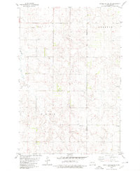
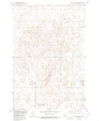
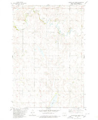
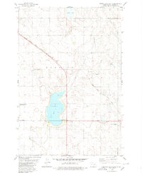
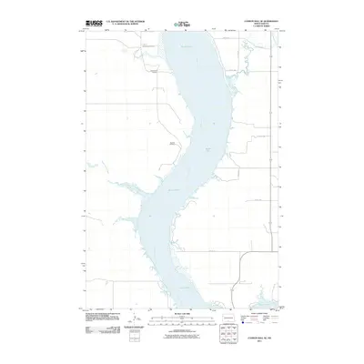
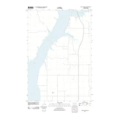
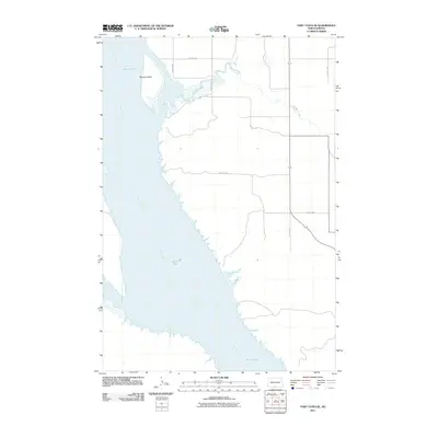
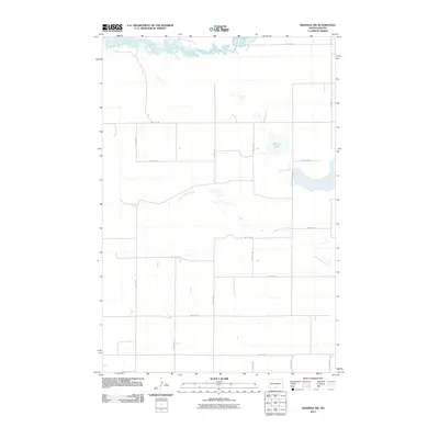
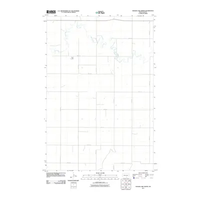
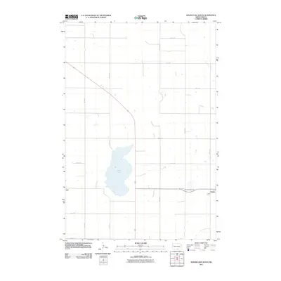
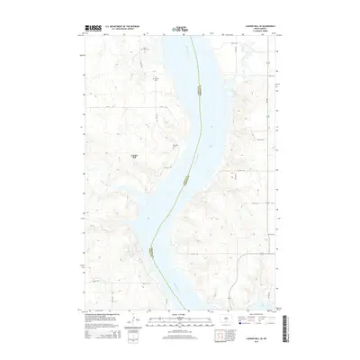
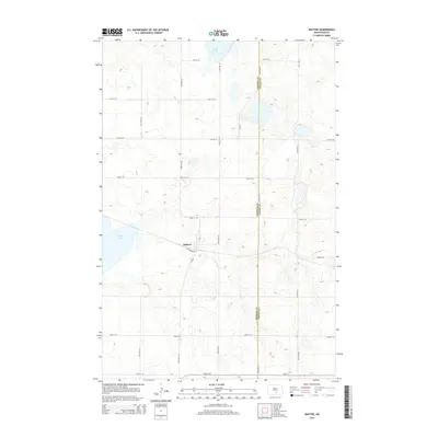
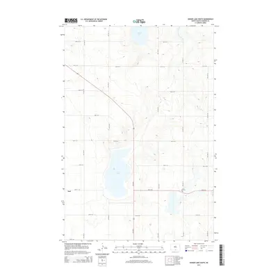
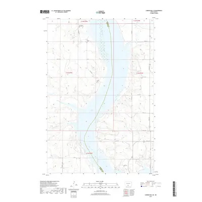
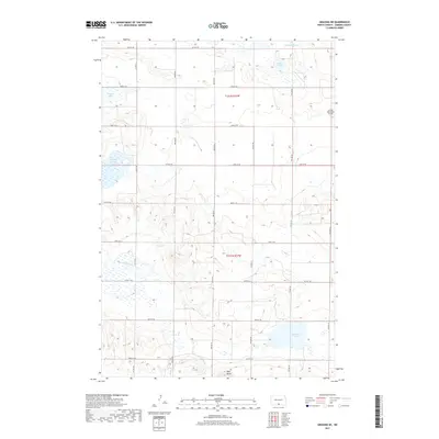
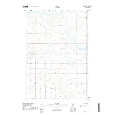
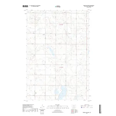
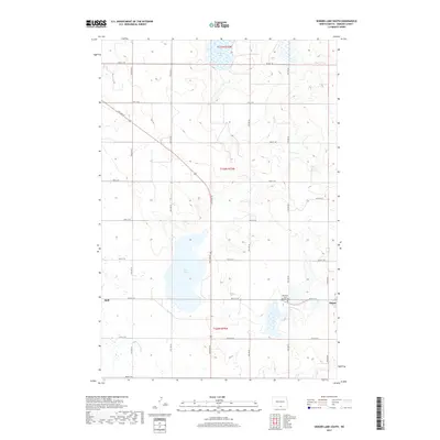
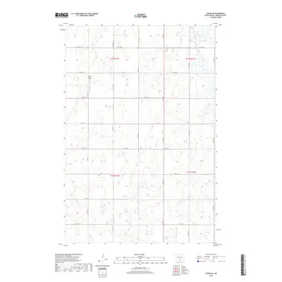
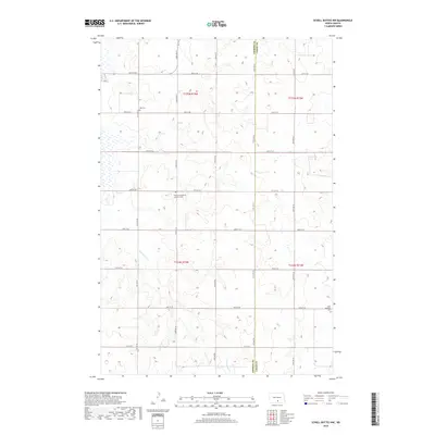
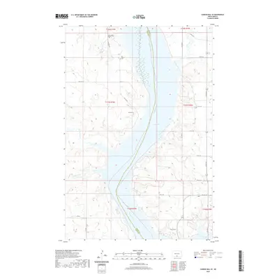
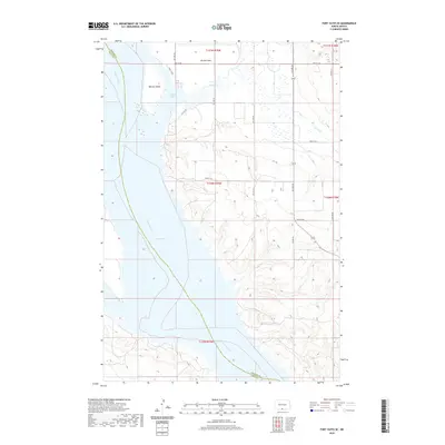
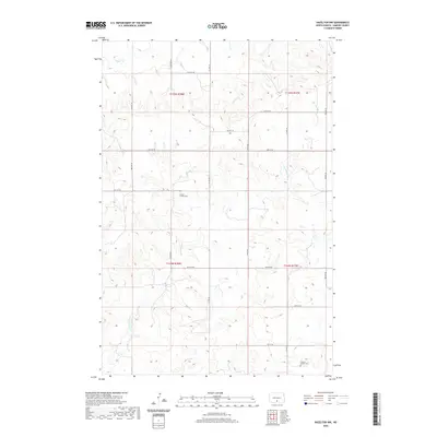
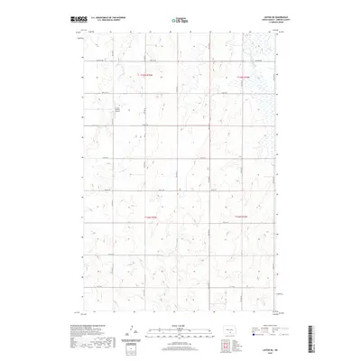
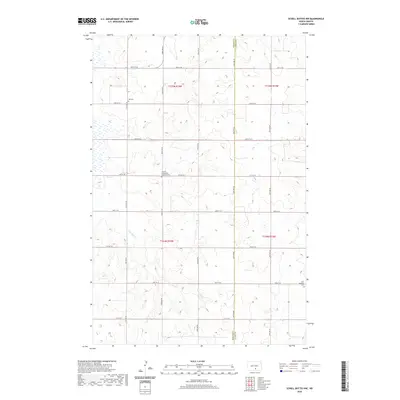
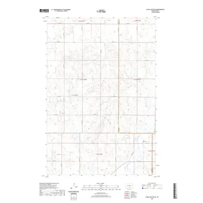
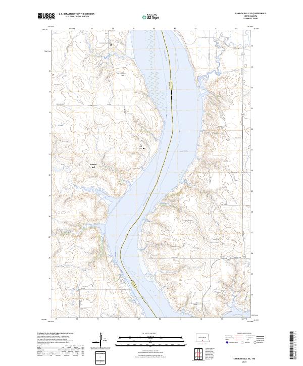
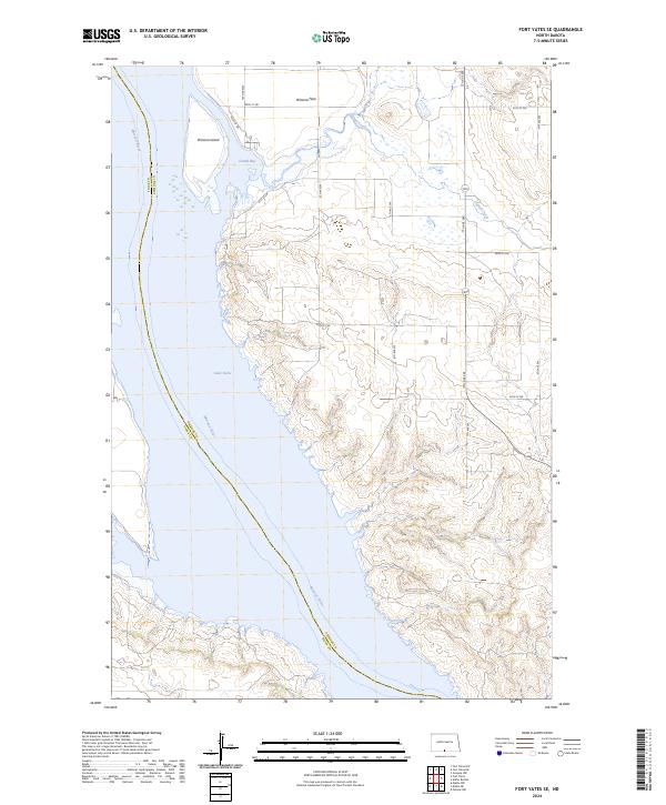
Lake Oahe dominates this landscape along the border of Emmons and Sioux counties, reflecting a period of significant hydrological change for the region. Mapped as part of the Missouri River Basin development program, the survey shows the reservoir at a normal pool elevation of 1608 feet, effectively widening the ancient channel of the Missouri River. To the west, the boundary of the Standing Rock Indian Reservation follows the river's course, while the eastern shore features the level expanses of Winona Flats. Evidence of local transportation and drainage is visible through the Reierson Landing Strip and the winding paths of Cattail Creek and Fourmile Creek as they approach the rising waters of the lake.
Find a feature on this map
9 named features on this map. Tap any name to fly to it.
Don’t see what you’re looking for? This feature index may not catch every label — zoom into the map to look around manually.
Map Details
Editions of this 1968 Fort Yates SE Map
This is the sole edition of this map. No revisions or reprints were ever made.
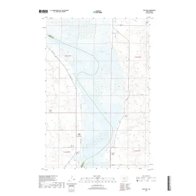
Historical Maps of Fort Yates District Through Time
144 maps found
1968 Cannon Ball SE
Emmons County, ND
1968 Fort Yates NE
Emmons County, ND
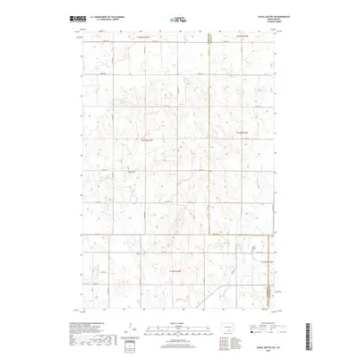
1968 Fort Yates SE
Emmons County, ND
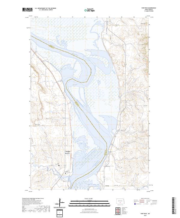
1971 Fort Rice
Emmons County, ND
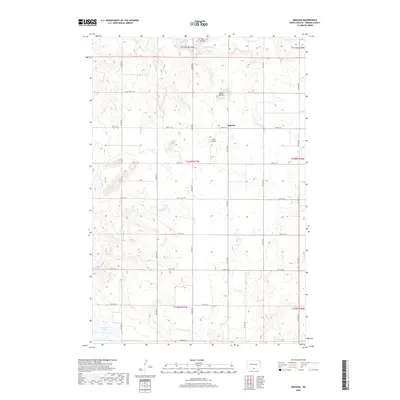
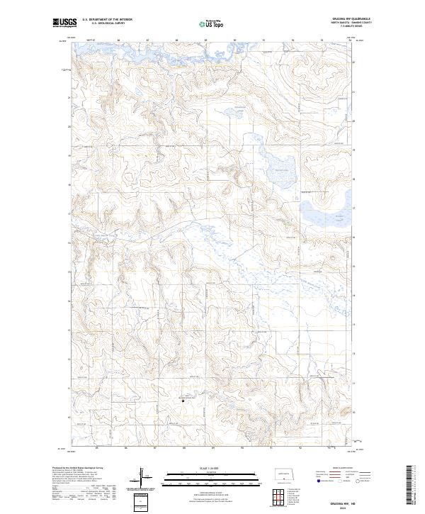
1971 Grassna
Emmons County, ND
1971 Grassna NE
Emmons County, ND
1971 Grassna NW
Emmons County, ND
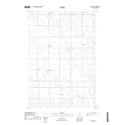
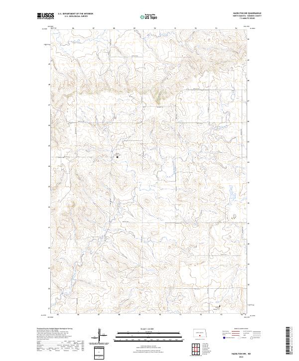
1971 Hazelton NW
Emmons County, ND
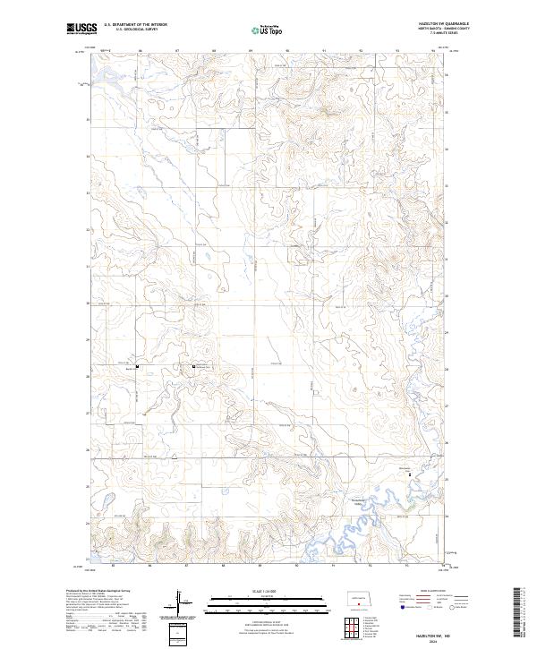
1971 Hazelton SW
Emmons County, ND
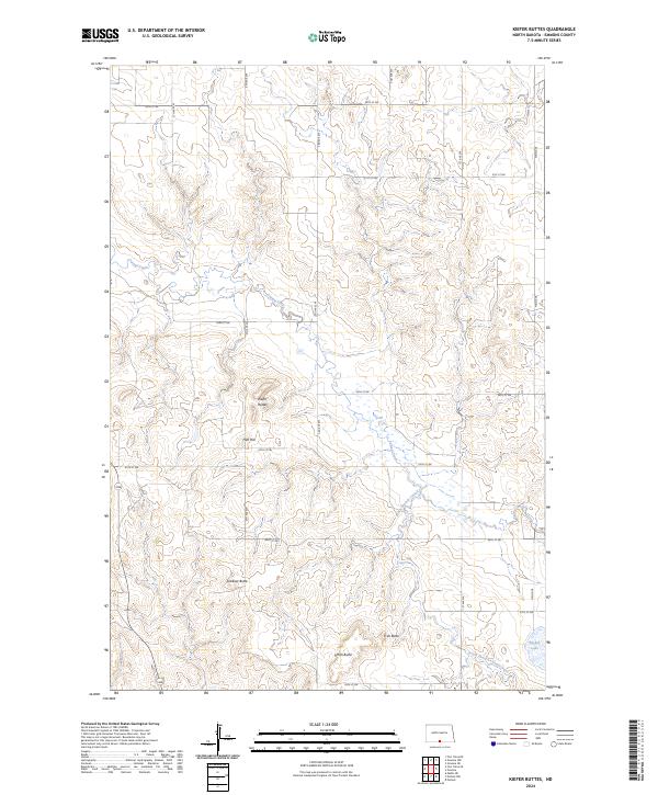
1971 Kiefer Buttes
Emmons County, ND
1971 Moffit SE
Emmons County, ND
1971 Moffit SW
Emmons County, ND
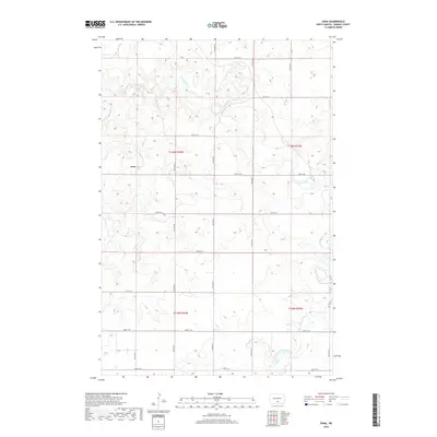
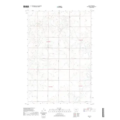
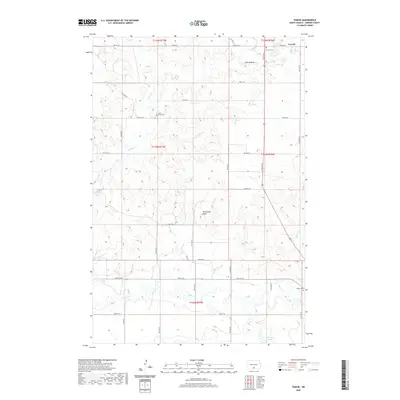
1971 Temvik
Emmons County, ND
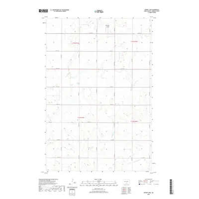
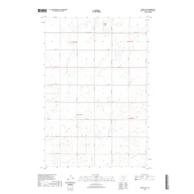
1975 Appert Lake
Emmons County, ND
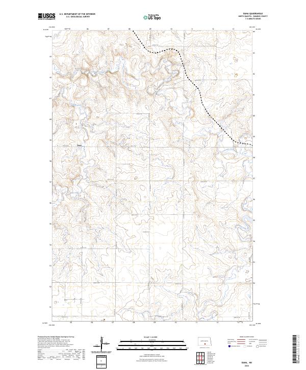
1975 Dana
Emmons County, ND
1975 Kintyre
Emmons County, ND
1975 Linton NE
Emmons County, ND
1979 Schell Buttes NW
Emmons County, ND
1979 Schell Buttes SW
Emmons County, ND
1979 Senger Lake North
Emmons County, ND
1979 Senger Lake South
Emmons County, ND
1979 Westfield
Emmons County, ND
1980 Rohrich Dam
Emmons County, ND
1980 Weisser Dam West
Emmons County, ND
2011 Appert Lake
Emmons County, ND
2011 Cannon Ball SE
Emmons County, ND
2011 Dana
Emmons County, ND
2011 Fort Rice
Emmons County, ND
2011 Fort Yates NE
Emmons County, ND
2011 Fort Yates SE
Emmons County, ND
2011 Grassna
Emmons County, ND
2011 Grassna NE
Emmons County, ND
2011 Grassna NW
Emmons County, ND
2011 Hazelton NW
Emmons County, ND
2011 Hazelton SW
Emmons County, ND
2011 Kiefer Buttes
Emmons County, ND
2011 Kintyre
Emmons County, ND
2011 Linton NE
Emmons County, ND
2011 Moffit SE
Emmons County, ND
2011 Moffit SW
Emmons County, ND
2011 Rohrich Dam
Emmons County, ND
2011 Schell Buttes NW
Emmons County, ND
2011 Schell Buttes SW
Emmons County, ND
2011 Senger Lake North
Emmons County, ND
2011 Senger Lake South
Emmons County, ND
2011 Temvik
Emmons County, ND
2011 Weisser Dam West
Emmons County, ND
2011 Westfield
Emmons County, ND
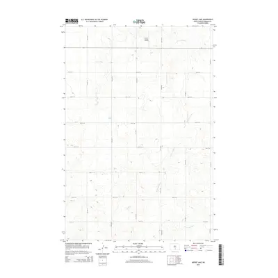
2014 Appert Lake
Emmons County, ND
2014 Cannon Ball SE
Emmons County, ND
2014 Dana
Emmons County, ND
2014 Fort Rice
Emmons County, ND
2014 Fort Yates NE
Emmons County, ND
2014 Fort Yates SE
Emmons County, ND
2014 Grassna
Emmons County, ND
2014 Grassna NE
Emmons County, ND
2014 Grassna NW
Emmons County, ND
2014 Hazelton NW
Emmons County, ND
2014 Hazelton SW
Emmons County, ND
2014 Kiefer Buttes
Emmons County, ND
2014 Kintyre
Emmons County, ND
2014 Linton NE
Emmons County, ND
2014 Moffit SE
Emmons County, ND
2014 Moffit SW
Emmons County, ND
2014 Rohrich Dam
Emmons County, ND
2014 Schell Buttes NW
Emmons County, ND
2014 Schell Buttes SW
Emmons County, ND
2014 Senger Lake North
Emmons County, ND
2014 Senger Lake South
Emmons County, ND
2014 Temvik
Emmons County, ND
2014 Weisser Dam West
Emmons County, ND
2014 Westfield
Emmons County, ND
2017 Cannon Ball SE
Emmons County, ND
2017 Fort Rice
Emmons County, ND
2017 Fort Yates NE
Emmons County, ND
2017 Fort Yates SE
Emmons County, ND
2017 Grassna NE
Emmons County, ND
2017 Grassna NW
Emmons County, ND
2017 Hazelton NW
Emmons County, ND
2017 Kiefer Buttes
Emmons County, ND
2017 Kintyre
Emmons County, ND
2017 Senger Lake North
Emmons County, ND
2017 Senger Lake South
Emmons County, ND
2017 Temvik
Emmons County, ND
2018 Appert Lake
Emmons County, ND
2018 Dana
Emmons County, ND
2018 Grassna
Emmons County, ND
2018 Hazelton SW
Emmons County, ND
2018 Linton NE
Emmons County, ND
2018 Moffit SE
Emmons County, ND
2018 Moffit SW
Emmons County, ND
2018 Rohrich Dam
Emmons County, ND
2018 Schell Buttes NW
Emmons County, ND
2018 Schell Buttes SW
Emmons County, ND
2018 Weisser Dam West
Emmons County, ND
2018 Westfield
Emmons County, ND
2020 Appert Lake
Emmons County, ND
2020 Cannon Ball SE
Emmons County, ND
2020 Dana
Emmons County, ND

2020 Fort Rice
Emmons County, ND
2020 Fort Yates NE
Emmons County, ND
2020 Fort Yates SE
Emmons County, ND
2020 Grassna
Emmons County, ND
2020 Grassna NE
Emmons County, ND
2020 Grassna NW
Emmons County, ND
2020 Hazelton NW
Emmons County, ND
2020 Hazelton SW
Emmons County, ND
2020 Kiefer Buttes
Emmons County, ND
2020 Kintyre
Emmons County, ND
2020 Linton NE
Emmons County, ND
2020 Moffit SE
Emmons County, ND
2020 Moffit SW
Emmons County, ND
2020 Rohrich Dam
Emmons County, ND
2020 Schell Buttes NW
Emmons County, ND
2020 Schell Buttes SW
Emmons County, ND
2020 Senger Lake North
Emmons County, ND
2020 Senger Lake South
Emmons County, ND
2020 Temvik
Emmons County, ND

2020 Weisser Dam West
Emmons County, ND

2020 Westfield
Emmons County, ND

2024 Appert Lake
Emmons County, ND
2024 Cannon Ball SE
Emmons County, ND
2024 Dana
Emmons County, ND
2024 Fort Rice
Emmons County, ND
2024 Fort Yates NE
Emmons County, ND
2024 Fort Yates SE
Emmons County, ND
2024 Grassna
Emmons County, ND
2024 Grassna NE
Emmons County, ND
2024 Grassna NW
Emmons County, ND
2024 Hazelton NW
Emmons County, ND
2024 Hazelton SW
Emmons County, ND
2024 Kiefer Buttes
Emmons County, ND
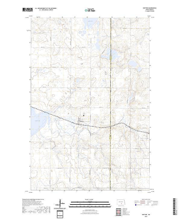
2024 Kintyre
Emmons County, ND
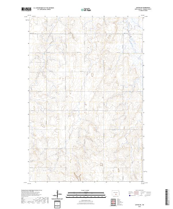
2024 Linton NE
Emmons County, ND
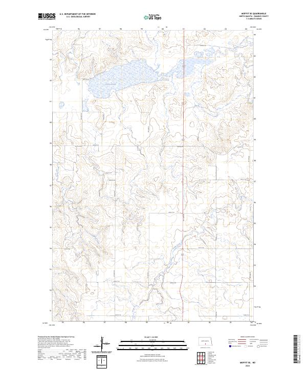
2024 Moffit SE
Emmons County, ND
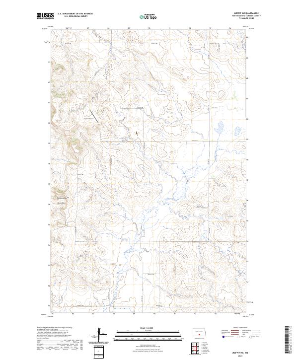
2024 Moffit SW
Emmons County, ND
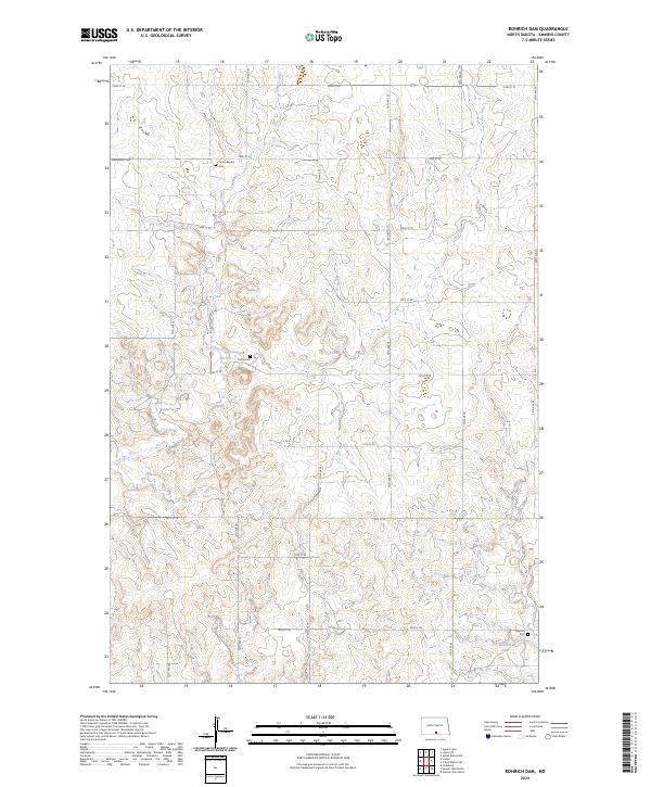
2024 Rohrich Dam
Emmons County, ND
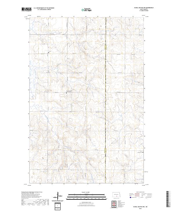
2024 Schell Buttes NW
Emmons County, ND
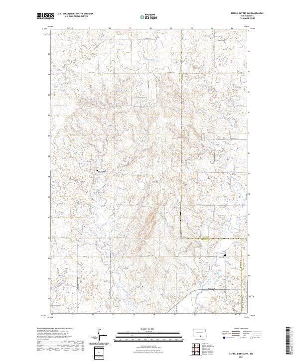
2024 Schell Buttes SW
Emmons County, ND
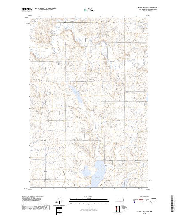
2024 Senger Lake North
Emmons County, ND
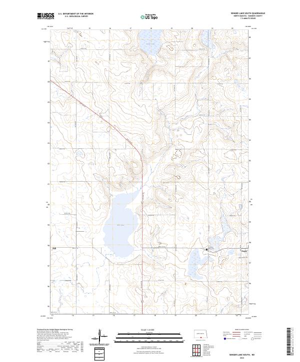
2024 Senger Lake South
Emmons County, ND
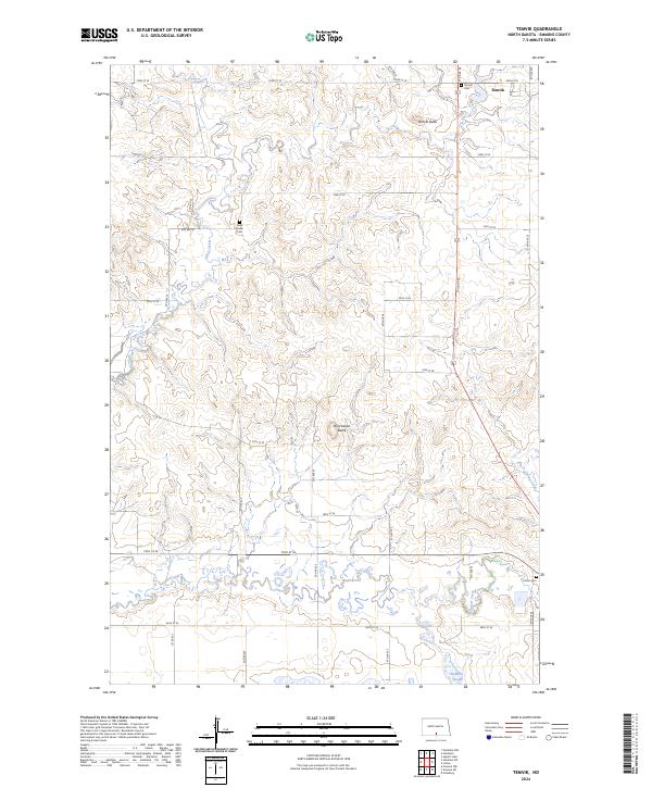
2024 Temvik
Emmons County, ND
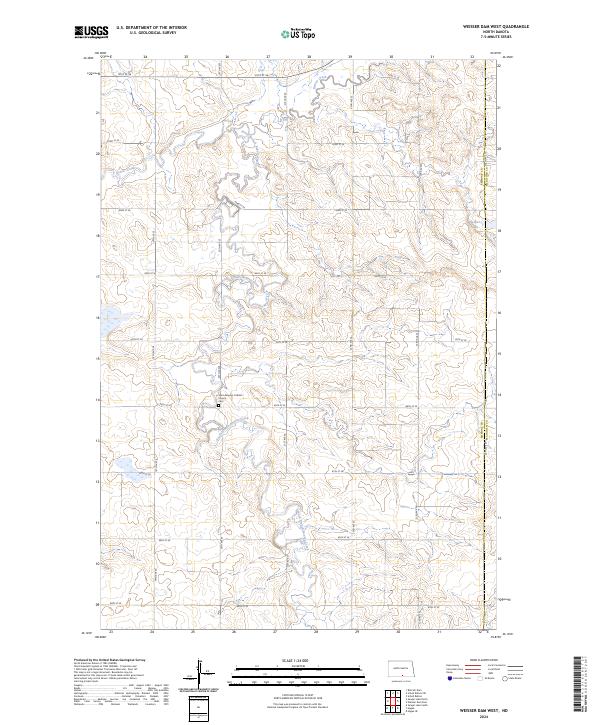
2024 Weisser Dam West
Emmons County, ND
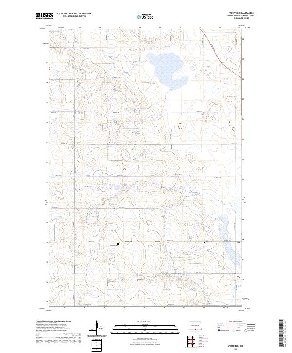
2024 Westfield
Emmons County, ND