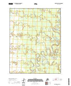
2018 Map of Fort Yukon D-1 NW
USGS Topo · Published 2018About this map
The Sheenjek River dominates this landscape, its tight meanders and oxbow lakes weaving through a wilderness of wetlands. Mapping the remote northern reaches of the Yukon-Koyukuk Census Area, the 2018 survey documents a river system in transition, characterized by seasonal braiding and shifting channels. This terrain, defined by the boundaries of t25n r15e and t24n r16e, remains largely untouched by development, focusing instead on the complex hydrography of the interior. The vast networks of marsh and lake shown here are essential for understanding the hydrology of the northern river basin, providing a record of the landscape before future environmental shifts.
Find a feature on this map
5 named features on this map. Tap any name to fly to it.
Don’t see what you’re looking for? This feature index may not catch every label — zoom into the map to look around manually.
Map Details
Editions of this 2018 Fort Yukon D-1 NW Map
This is the sole edition of this map. No revisions or reprints were ever made.
Other maps of this area

1951 · Fort Yukon
USGS Topo · 1:250,000

1951 · Christian
USGS Topo · 1:250,000

1955 · Fort Yukon D-2
USGS Topo · 1:63,360
1956 · Fort Yukon D-1
USGS Topo · 1:63,360

1956 · Christian
USGS Topo · 1:250,000

1956 · Fort Yukon
USGS Topo · 1:250,000
1990 · Christian A-1
USGS Topo · 1:63,360
1990 · Christian A-2
USGS Topo · 1:63,360
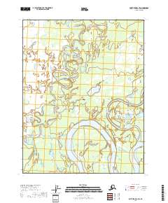
2018 · Fort Yukon D-1 SW
USGS Topo · 1:25,000
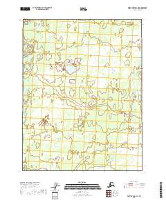
2018 · Fort Yukon D-1 NE
USGS Topo · 1:25,000