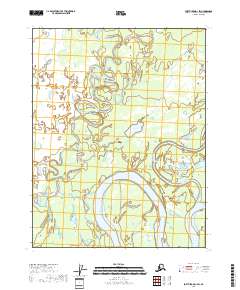
2018 Map of Fort Yukon D-1 SW
USGS Topo · Published 2018About this map
The Porcupine River and its complex network of interconnected waterways dominate this interior Alaska landscape. The terrain is defined by the shifting paths of the Sheenjek River and the meandering Curtis Slough, illustrating a dynamic riverine environment where water bodies like Gailey Lake and Gull Lake are formed by the natural evolution of the channel. The absence of roads or permanent structures reflects the remote character of the Yukon-Koyukuk Census Area, where the land remains shaped by hydraulic forces rather than human development. Local landmarks such as Gailey Cr offer specific points of reference for navigating this labyrinth of wetlands and oxbows within the vast river basin.
Find a feature on this map
12 named features on this map. Tap any name to fly to it.
Don’t see what you’re looking for? This feature index may not catch every label — zoom into the map to look around manually.
Map Details
Editions of this 2018 Fort Yukon D-1 SW Map
This is the sole edition of this map. No revisions or reprints were ever made.
Other maps of this area

1951 · Fort Yukon
USGS Topo · 1:250,000

1952 · Fort Yukon C-2
USGS Topo · 1:63,360

1955 · Fort Yukon D-2
USGS Topo · 1:63,360

1956 · Fort Yukon C-1
USGS Topo · 1:63,360
1956 · Fort Yukon D-1
USGS Topo · 1:63,360

1956 · Fort Yukon
USGS Topo · 1:250,000
1956 · Fort Yukon C-2
USGS Topo · 1:63,360
2018 · Fort Yukon C-2 NE
USGS Topo · 1:25,000
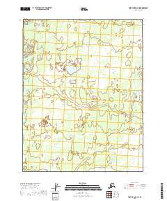
2018 · Fort Yukon D-1 NE
USGS Topo · 1:25,000
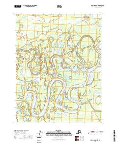
2018 · Fort Yukon D-1 SE
USGS Topo · 1:25,000